Severe Thunderstorm Watch Issued For Cheyenne, Laramie, Tornado Possible
UPDATE 12:09 PM: The Severe Thunderstorm Watch has been upgraded to a warning for Laramie and surrounding areas until 12:30 p.m.
The Cheyenne Office of the National Weather Service says a Severe Thunderstorm Watch has been issued for southeast Wyoming, including Cheyenne and Laramie
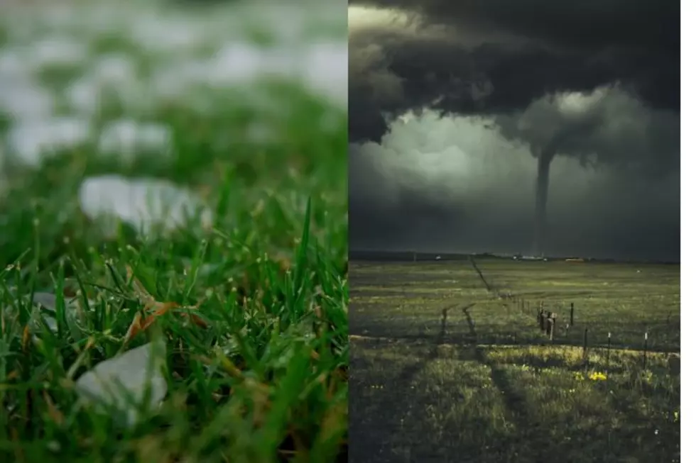
Possible Hazards Include Hail, A Couple Tornadoes
Possible hazards include hail and strong winds. A couple of tornadoes are possible.
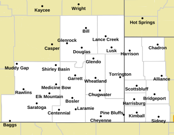
A severe thunderstorm watch has been issued for southeastern Wyoming and southwestern Nebraska.
Damaging hail and strong winds are the primary threat, with a couple tornadoes not out of the question. The watch will be in effect until 5PM MDT.

The agency posted this additional map on its website
The area colored in pink is covered by the watch
Laramie County's Most Wanted Fugitives
The Laramie County Sheriff's Office is currently looking for these individuals:
Gallery Credit: Joy Greenwald
More From KGAB