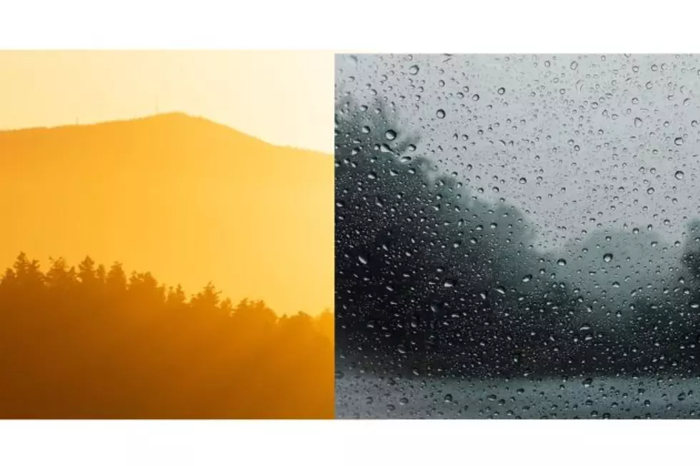
It looks like southeast Wyoming can expect a few more days of hot weather through this weekend before monsoon rains head our way starting on Sunday.

That's according to the Cheyenne Office of the National Weather Service.

The agency posted the following on its website:

"A push of monsoon moisture will move into the region as early as Sunday. This will put an end to the prolonged hot and dry conditions, with precipitation chances expected most, if not all days next week. A quick look at long range models shows the potential for widespread rainfall, as well as heavy rain and flooding."
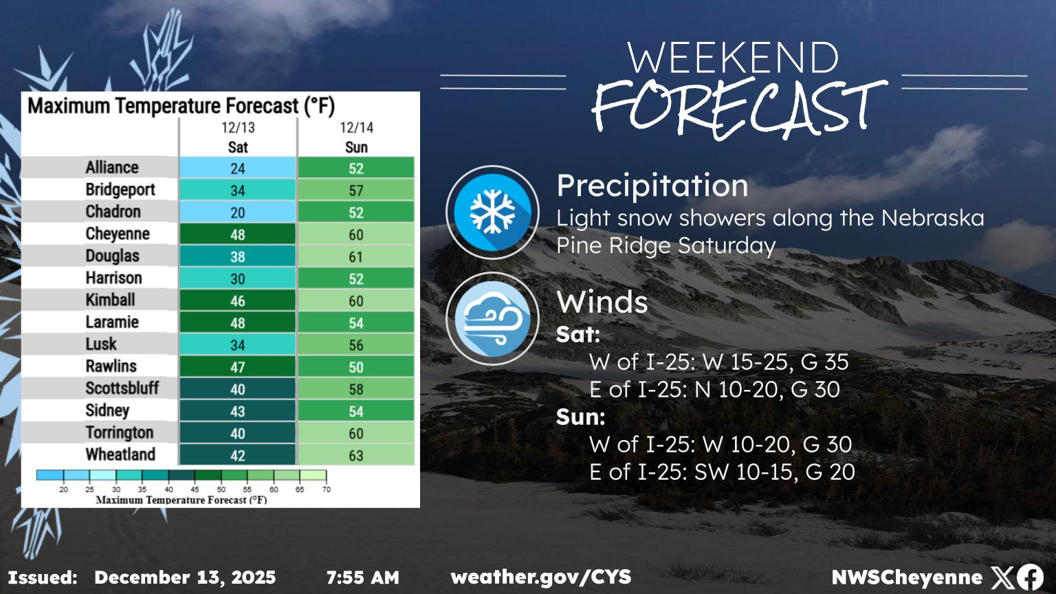

Here’s a look at the next several days. Very hot temperatures continue through the end of the week into the weekend, but a much awaited cold front arrives for Monday. Temperatures drop back into the 80s and 90s Monday, with 70s and 80s expected Tuesday onwards. Sunday will be the hottest day with maximum temperatures well past the 100F mark. Dry, breezy conditions are expected Thursday through Saturday, but monsoon moisture starts to push back into the region Sunday onwards. Increasing precipitation chances expected Sunday onwards.

Cheyenne, Laramie Forecasts

Cheyenne Forecast

Tonight
Mostly clear, with a low around 56. East southeast wind 5 to 15 mph becoming west southwest after midnight.
Friday
Sunny and hot, with a high near 90. West southwest wind 5 to 15 mph becoming east southeast in the morning.
Friday Night
Mostly clear, with a low around 57. East southeast wind 10 to 15 mph becoming light and variable after midnight.
Saturday
Sunny and hot, with a high near 91. Light and variable wind becoming southeast 10 to 15 mph in the morning.
Saturday Night
Mostly clear, with a low around 58. Southeast wind 5 to 15 mph becoming south southwest after midnight.
Sunday
A 20 percent chance of showers and thunderstorms after noon. Sunny and hot, with a high near 94.
Sunday Night
A 20 percent chance of showers and thunderstorms before midnight. Partly cloudy, with a low around 60.
Monday
A chance of showers and thunderstorms after noon. Mostly sunny and hot, with a high near 92.
Monday Night
Showers likely and possibly a thunderstorm before midnight, then a chance of showers. Mostly cloudy, with a low around 58.
Tuesday
A slight chance of showers, then showers and thunderstorms likely after noon. Partly sunny, with a high near 85.
Tuesday Night
Showers likely and possibly a thunderstorm. Mostly cloudy, with a low around 55.
Wednesday
Showers and thunderstorms likely. Partly sunny, with a high near 85.
Wednesday Night
Showers likely and possibly a thunderstorm. Mostly cloudy, with a low around 55.
Thursday
Showers and thunderstorms likely. Partly sunny, with a high near 83.
Laramie Forecast
This Afternoon
Sunny, with a high near 87. East southeast wind 10 to 15 mph.
Tonight
Mostly clear, with a low around 55. East southeast wind 10 to 15 mph becoming west southwest 5 to 10 mph after midnight.
Friday
Sunny, with a high near 88. West wind 5 to 15 mph becoming east southeast in the morning.
Friday Night
Mostly clear, with a low around 56. East southeast wind 10 to 15 mph becoming southwest 5 to 10 mph after midnight.
Saturday
Sunny and hot, with a high near 90. West wind 5 to 10 mph becoming southeast 10 to 15 mph in the morning.
Saturday Night
Mostly clear, with a low around 57.
Sunday
A 30 percent chance of showers and thunderstorms after noon. Sunny and hot, with a high near 92.
Sunday Night
A slight chance of showers and thunderstorms before midnight. Partly cloudy, with a low around 58.
Monday
Showers and thunderstorms likely after noon. Mostly sunny and hot, with a high near 90.
Monday Night
Showers likely and possibly a thunderstorm before midnight, then a chance of showers. Mostly cloudy, with a low around 56.
Tuesday
Showers and thunderstorms likely. Partly sunny, with a high near 83.
Tuesday Night
Showers likely and possibly a thunderstorm. Mostly cloudy, with a low around 54.
Wednesday
Showers and thunderstorms likely. Partly sunny, with a high near 84.

Frontier Days Parade 2025

More From KGAB