

Monsoon Moisture, Isolated Large Hail Expected In Southeast Wyoming
The Cheyenne Office of the National Weather Service says southeast Wyoming could be in line for strong to severe storms over the next few days.
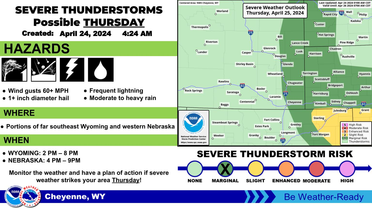
The agency posted the following on its website: A plume of monsoon moisture will enter the region starting today, with a better chance for thunderstorms in the afternoon hours. Strong gusty winds between 55 to 75 MPH is the primary concern, but can't rule out brief heavy rainfall and isolated large hail.
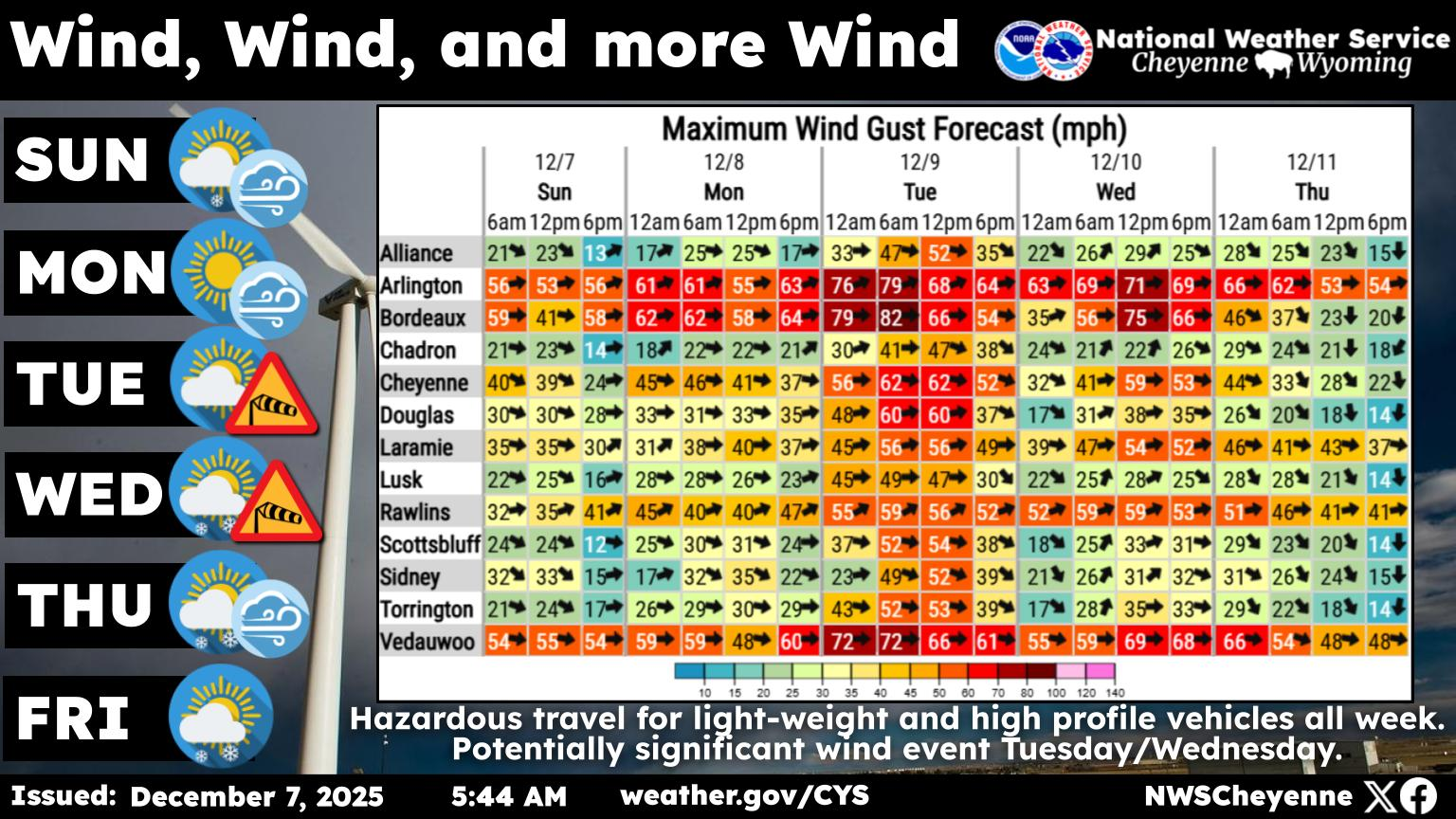
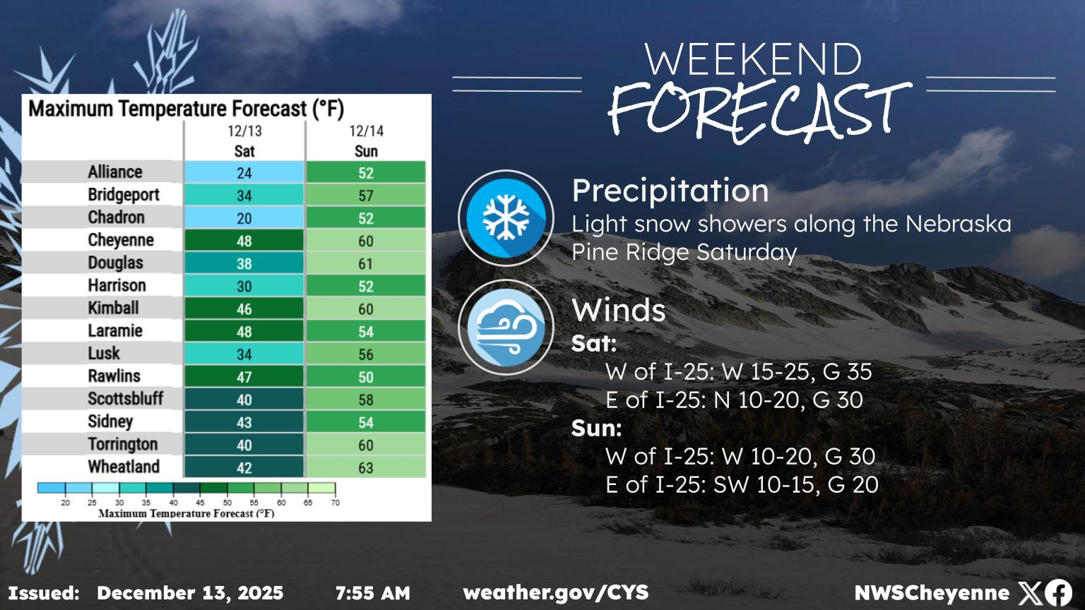
Even with the rain, hot temperatures are still expected: Another week is shaping up, but luckily monsoonal moisture will continue to trickle into the area. Daily chances for showers and storms are expected, with the best days to potentially see rain on Tuesday and Wednesday. Drier conditions return late into the week just in time of the weekend. Hot temperatures expected to continue through the weekend. Stay cool this week!
Cheyenne and Laramie Set Heat Records On Sunday
Cheyenne, Laramie Forecasts
Cheyenne Forecast
The Hidden Treasures Of Wyoming's Natural Bridge
Gallery Credit: Glenn Woods
More From KGAB