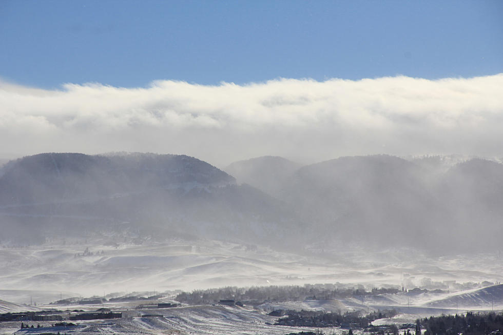
Unsettled Weather, Monsoonal Moisture Expected in SE Wyoming
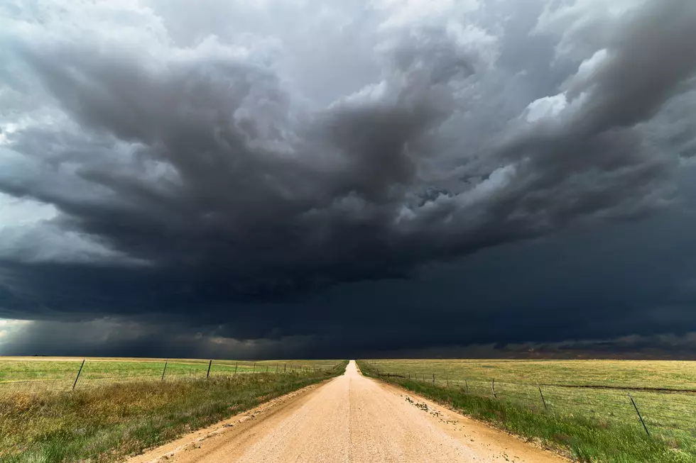
The Cheyenne Office of the National Weather Service says southeast Wyoming residents should expect the return of unsettled weather as monsoonal moisture heads into the area on Friday and Saturday.
The best chance for severe storms is on Saturday, but some severe weather is also possible on Friday.
The agency posted this statement on its website:
'' Monsoonal moisture is being shunted south of Wyoming and western Nebraska today as a low pressure system tracks across the southern Canadian provinces this afternoon. That low will exit east over the next 24 hours, allowing the moisture to return back into southern Wyoming and the southern Panhandle Friday, As high pressure to our south begins to build back north. Thunderstorms expected to increase in coverage Friday afternoon, especially across extrem southeastern Wyoming and the southern Nebraska Panhandle. Some severe storms are possible Friday afternoon, but the best day for severe storms and thunderstorm coverage looks to be Saturday. We have a cold front, that will move through the area from the northwest Saturday afternoon. This front will provide extra lift and shear for a more widespread coverage of thunderstorms. If planning outdoor activities Friday and Saturday, keep an eye on the weather forecast and have a way to receive any future warnings. Remember, when thunder roars, go indoors!''
More From KGAB