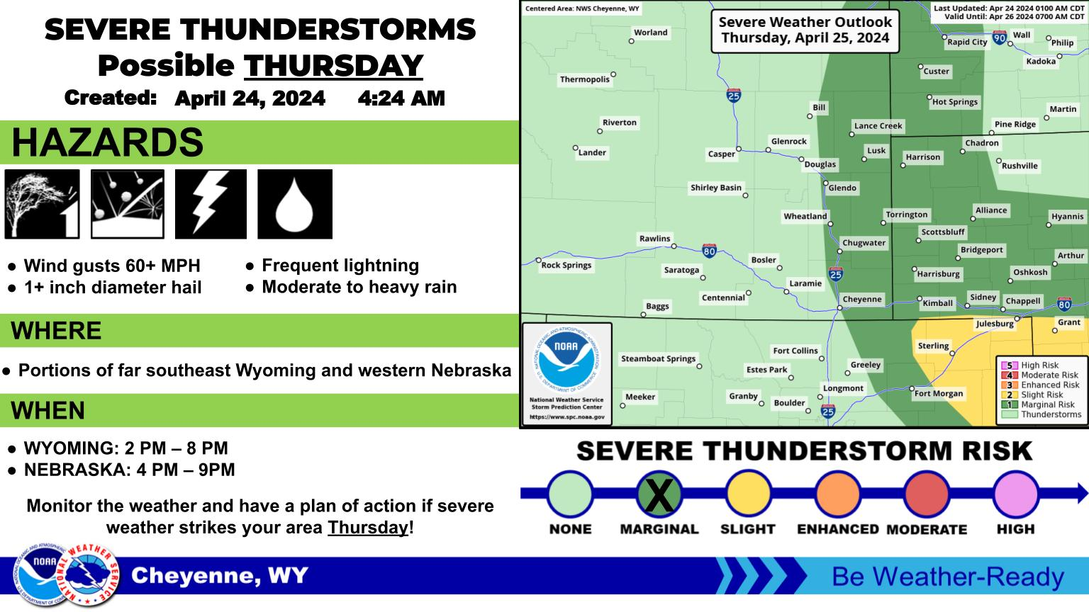
The Cheyenne Office of the National Weather Service says severe storms are possible in southeast Wyoming later today.

The agency says the storms are mostly expected after 6 p.m. and could feature 1.5-inch hail and torrential rains, possibly leading to local flooding.

The agency posted the following on its website:

Storms are expected to start around 6pm this evening. There is a chance a couple of these storms are severe. If severe storms develop; erratic wind gusts up to 60 mph and hail sized up to 1.5 inches are possible. Some torrential rainfall is expected that may lead to localized flooding.
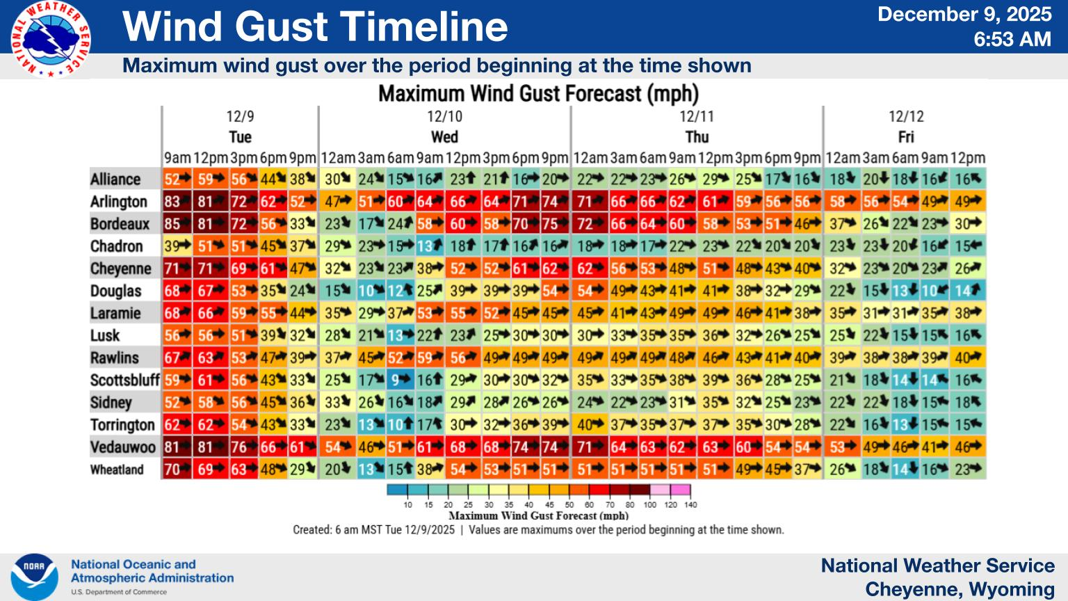

Forecast for This Week

Here’s a look at the forecast for next week! Warmer temperatures will continue each afternoon with mostly sunny to partly cloudy skies. Overnight lows will cool off nicely into the 50s and 60s most mornings. Breezy conditions are possible west of the Laramie Range on Monday and Tuesday before winds decrease. Isolated to scattered precipitation is possible each day, with the lowest chances on Tuesday.

Cheyenne, Laramie Forecast

Cheyenne Forecast

oday
Isolated showers and thunderstorms after 3pm. Sunny, with a high near 85. South wind 5 to 10 mph. Chance of precipitation is 20%.
Tonight
Scattered showers and thunderstorms, mainly between 9pm and midnight. Partly cloudy, with a low around 60. South wind 5 to 15 mph becoming west after midnight. Chance of precipitation is 30%.
Labor Day
A chance of showers, with thunderstorms also possible after 3pm. Mostly cloudy, with a high near 81. Southwest wind 10 to 15 mph. Chance of precipitation is 30%.
Monday Night
Mostly cloudy, with a low around 55. West southwest wind 5 to 15 mph becoming northwest after midnight.
Tuesday
Sunny, with a high near 81. Northwest wind 10 to 15 mph becoming south in the afternoon.
Tuesday Night
A slight chance of showers and thunderstorms. Partly cloudy, with a low around 51. Chance of precipitation is 20%.
Wednesday
Sunny, with a high near 78.
Wednesday Night
Partly cloudy, with a low around 53.
Thursday
Sunny, with a high near 84.
Thursday Night
Mostly clear, with a low around 55.
Friday
Sunny, with a high near 84.
Friday Night
Partly cloudy, with a low around 53.
Saturday
A chance of showers and thunderstorms. Sunny, with a high near 78.

Laramie Forecast

Today
Isolated showers and thunderstorms after 3pm. Mostly sunny, with a high near 80. South southeast wind 5 to 10 mph increasing to 10 to 15 mph in the afternoon. Chance of precipitation is 20%.
Tonight
Isolated showers and thunderstorms before 9pm. Partly cloudy, with a low around 57. South southeast wind 5 to 15 mph becoming southwest after midnight. Winds could gust as high as 25 mph. Chance of precipitation is 20%.
Labor Day
A 50 percent chance of showers, mainly before 9am. Mostly cloudy, with a high near 74. Breezy, with a west southwest wind 10 to 15 mph increasing to 20 to 25 mph in the afternoon. Winds could gust as high as 40 mph.
Monday Night
Mostly cloudy, with a low around 50. Breezy, with a west southwest wind 15 to 20 mph decreasing to 5 to 10 mph after midnight. Winds could gust as high as 30 mph.
Tuesday
Sunny, with a high near 77. Breezy, with a west wind 5 to 10 mph increasing to 15 to 20 mph in the afternoon. Winds could gust as high as 30 mph.
Tuesday Night
Mostly clear, with a low around 49.
Wednesday
Sunny, with a high near 77. Breezy.
Wednesday Night
Partly cloudy, with a low around 51. Breezy.
Thursday
Sunny, with a high near 79. Breezy.
Thursday Night
Mostly clear, with a low around 51. Breezy.
Friday
Sunny, with a high near 79. Breezy.
Friday Night
Partly cloudy, with a low around 51. Breezy.
Saturday
A chance of showers and thunderstorms. Mostly sunny, with a high near 75. Breezy.

The Hidden Treasures Of Wyoming's Natural Bridge

Look closely, there are gems you might miss.

Gallery Credit: Glenn Woods

More From KGAB