

Severe Thunderstorms, Hurricane Force Winds Possible in SE Wyoming
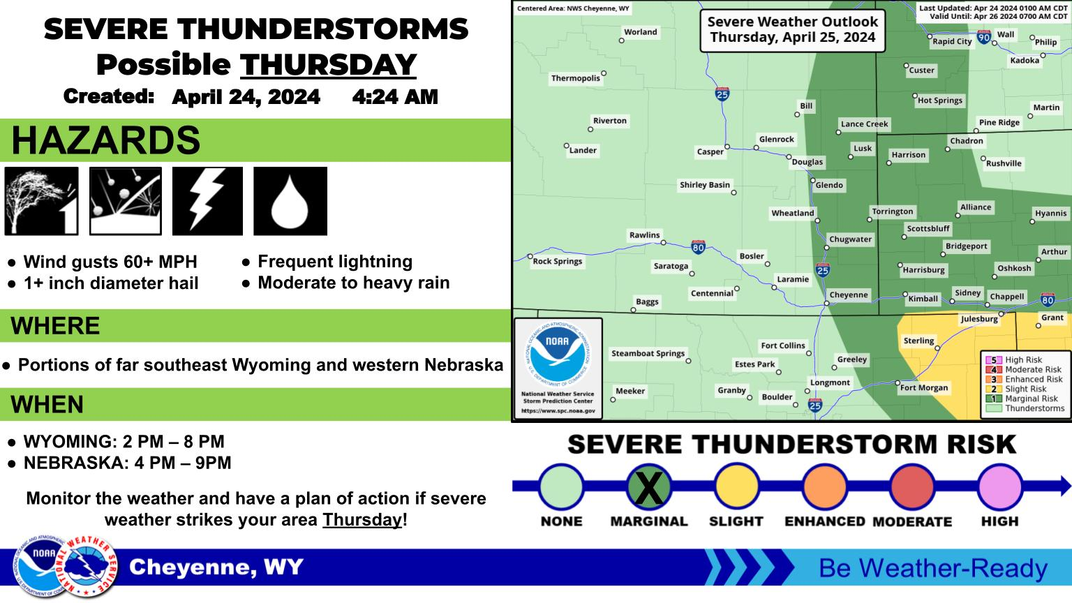
The Cheyenne Office of the National Weather Service says severe thunderstorms with winds of up to 75 miles per hour are possible in southeast Wyoming this afternoon and evening.
Large hail is also possible in the Nebraska Panhandle, but is less likely in Wyoming.
The agency posted the following on its website:
Multiple rounds of showers and thunderstorms possible today through late this evening as a cold front moves south and stalls over the eastern plains. Primary hazard will be strong winds up to 75 mph possible across the whole area, including central Wyoming. The threat for large hail up to 2 inches in diameter will mainly be confined to the Slight Risk region over western Nebraska.
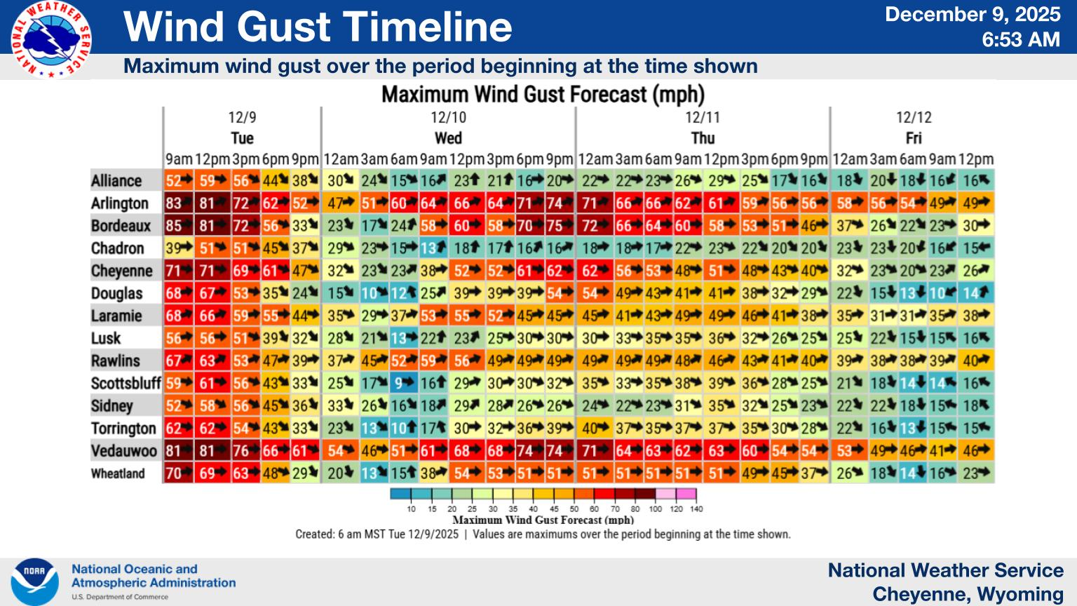
Here's a look at the week ahead! Typical summertime weather will continue through most of the week. Expect daily chances for scattered thunderstorms Monday through Wednesday, with cooler temperatures Tuesday & Wednesday. Temperatures will warm up again Thursday through the weekend. While it will be a little drier than the early part of the week, isolated PM thunderstorms will remain possible each day.
Cheyenne, Laramie Forecasts
Cheyenne Forecast
🤘🎸 Wyoming-Born Ian Munsick Brings Western Soul to Casper Stage
Gallery Credit: Kolby Fedore, TSM
More From KGAB