
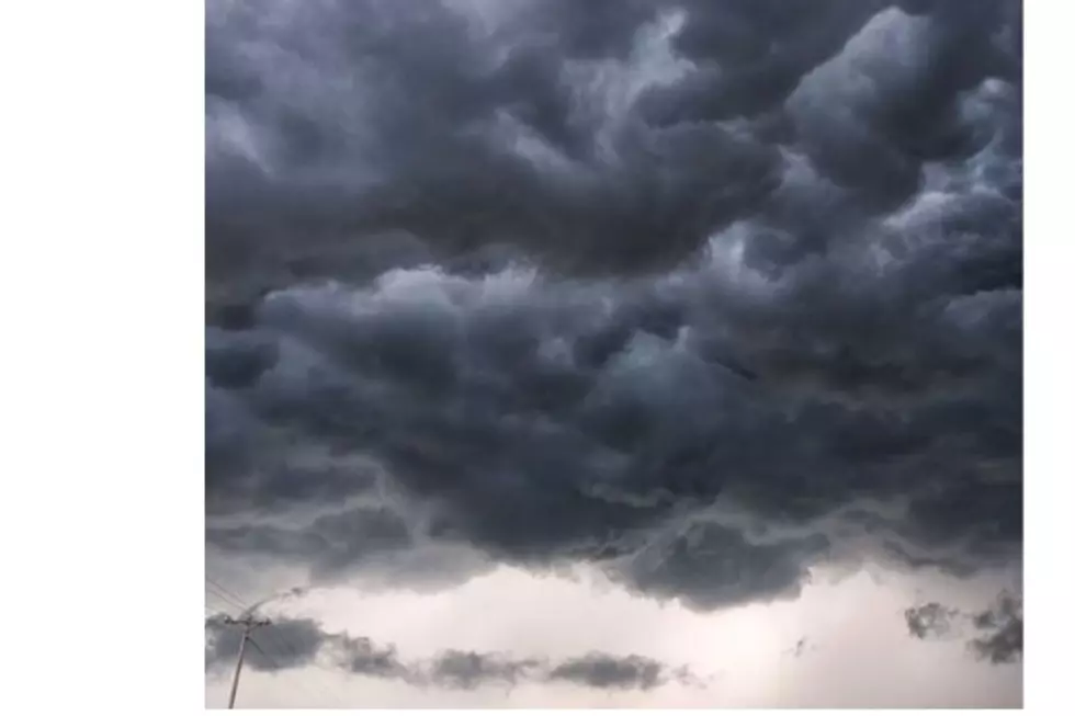
Stormy Weather In SE Wyoming Forecast This Week
The Cheyenne Office of the National Weather Service says southeast Wyoming residents can expect warm but wet weather over the next few days.
The agency posted the following on its website:
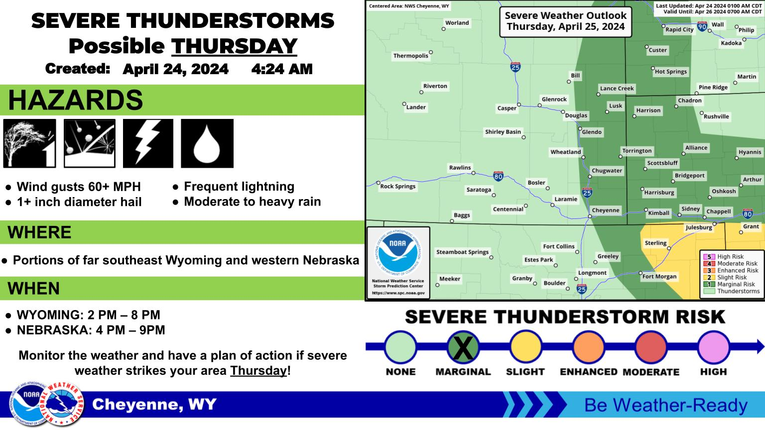
August 25th, 3AM - There is a Marginal Risk (Level 1 of 5) for severe weather across the region today, with a Marginal Risk in place for much of the area on Wednesday as well. Damaging winds and large hail will be the primary threats both days. Tornadoes are not anticipated at this time. The most likely time for the strongest storms will be between 2PM and 8PM.
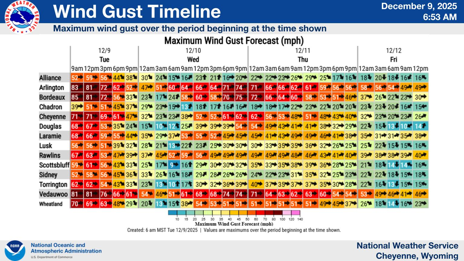
An active couple of days is in store for southeast Wyoming and western Nebraska with daily precipitation chances expected. Isolated strong to severe storms will be possible each day with Friday seeing the lowest coverage of showers and storms. Temperatures will be quite warm once again, but increasing clouds in the afternoons will provide some relief.
Cheyenne, Laramie Forecasts
Cheyenne Forecast
2nd Annual Cheyenne Air Show Was AMAIZING!
Gallery Credit: Glenn Woods
More From KGAB