
Southeast Wyoming Could Face Heavy Rainfall Through Thursday
Southeast Wyoming could see excessive rainfall in some areas through Thursday, according to the Cheyenne Office of the National Weather Service.
The agency posted the following on its website:
The WPC has a marginal outlook for excessive rainfall for far southern Carbon County today and a more widespread risk for Thursday. A monsoonal flow will increase moisture to near or exceeding all-time maximums for mid September. Training thunderstorms could produce isolated pockets of +2 inches of rainfall, particularly in the Nebraska Panhandle. Never cross a flooded road!
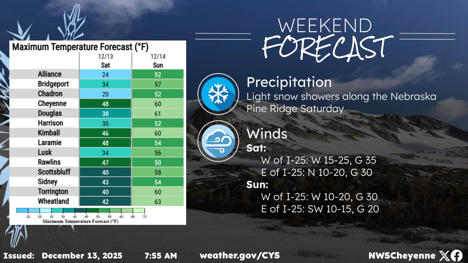
Cheyenne, Laramie Forecasts
Cheyenne Forecast
This Afternoon
A chance of showers, with thunderstorms also possible after 3pm. Partly sunny, with a high near 78. South wind around 10 mph. Chance of precipitation is 30%.
Tonight
A slight chance of showers and thunderstorms. Mostly cloudy, with a low around 55. South wind 5 to 10 mph becoming light and variable in the evening. Chance of precipitation is 20%.
Thursday
Showers likely, with thunderstorms also possible after noon. Mostly cloudy, with a high near 72. North northeast wind 5 to 10 mph becoming south southwest in the afternoon. Chance of precipitation is 60%.
Thursday Night
A 20 percent chance of showers and thunderstorms before 9pm. Mostly cloudy, with a low around 52. West northwest wind 5 to 10 mph.
Friday
A 50 percent chance of showers and thunderstorms after noon. Mostly sunny, with a high near 78. West wind around 10 mph.
Friday Night
A chance of showers and thunderstorms before 9pm, then a chance of showers between 9pm and midnight. Partly cloudy, with a low around 49. Chance of precipitation is 50%.
Saturday
Showers likely and possibly a thunderstorm after noon. Mostly sunny, with a high near 74. Chance of precipitation is 60%.
Saturday Night
Showers likely and possibly a thunderstorm before midnight, then a chance of showers. Partly cloudy, with a low around 44.
Sunday
A chance of showers, with thunderstorms also possible after noon. Mostly sunny, with a high near 69.
Sunday Night
A slight chance of showers and thunderstorms before midnight. Partly cloudy, with a low around 42.
Monday
A slight chance of showers. Sunny, with a high near 72.
Monday Night
Partly cloudy, with a low around 44.
Tuesday
Sunny, with a high near 73.
Laramie Forecast
This Afternoon
A 30 percent chance of showers and thunderstorms. Partly sunny, with a high near 74. Southwest wind around 15 mph.
Tonight
A chance of showers and thunderstorms. Mostly cloudy, with a low around 54. Southwest wind 5 to 15 mph becoming southeast after midnight. Chance of precipitation is 30%.
Thursday
Showers likely before noon, then showers likely and possibly a thunderstorm between noon and 3pm, then a chance of showers and thunderstorms after 3pm. Mostly cloudy, with a high near 68. Southeast wind 5 to 10 mph becoming southwest in the afternoon. Chance of precipitation is 70%.
Thursday Night
A 20 percent chance of showers and thunderstorms before 9pm. Mostly cloudy, with a low around 49. West southwest wind 5 to 10 mph.
Friday
A 50 percent chance of showers and thunderstorms after noon. Partly sunny, with a high near 72. West southwest wind 10 to 15 mph.
Friday Night
A chance of showers and thunderstorms before 9pm, then a chance of showers between 9pm and midnight. Partly cloudy, with a low around 47. Chance of precipitation is 30%.
Saturday
Showers likely and possibly a thunderstorm after noon. Mostly sunny, with a high near 68. Chance of precipitation is 60%.
Saturday Night
Showers likely and possibly a thunderstorm before midnight, then a chance of showers. Partly cloudy, with a low around 42.
Sunday
A chance of showers, with thunderstorms also possible after noon. Mostly sunny, with a high near 63. Breezy.
Sunday Night
Mostly clear, with a low around 40.
Monday
Sunny, with a high near 68.
Monday Night
Mostly clear, with a low around 42.
Tuesday
Mostly sunny, with a high near 69.
The Best Movies of 2025 So Far
It’s already been a great year for movies.
More From KGAB