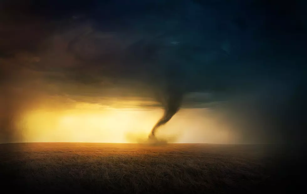
Cheyenne NWS Offers Update On Possible Hail, Isolated Tornadoes
The Cheyenne Office of the National Weather Service posted an 11 a.m updater on the possibility of severe storms in southeast Wyoming and the Nebraska panhandle this afternoon and evening.

As was the case with a weather service post on Monday evening, there is still a possibility of large hail and a few tornadoes.
However, the agency now says the largest hail will likely be golf ball size as opposed to the tennis ball size which had been listed as a possibility on last night's report. But the area at risk for a tornado has been extended further into southeast Wyoming and now includes the city of Wheatland. Cheyenne was not listed in the area at risk for a tornado. in the 11 a.m. update.
The agency posted this statement on its website at 11 a.m.:
''Slight Risk for scattered severe thunderstorms across parts of southeastern Wyoming and Nebraska Panhandle this afternoon into late evening. Main threats associated with these storms will be strong winds, lightning, and hail up to golf ball possible. Initially discrete storms will be possible across southeastern Wyoming mainly between 3 PM and 8 PM MDT with the Nebraska Panhandle expected to start seeing thunderstorm activity after 6 PM through around midnight. The main areas of concern for isolated tornado risk are highlighted above which include cities such as Scottsbluff, Bridgeport, Chugwater, Alliance, Sidney, and Kimball. Stay weather aware and be sure to have multiple ways to receive weather warnings and forecast updates!''
15 Questions You Should Never Ask Someone From Wyoming
More From KGAB


