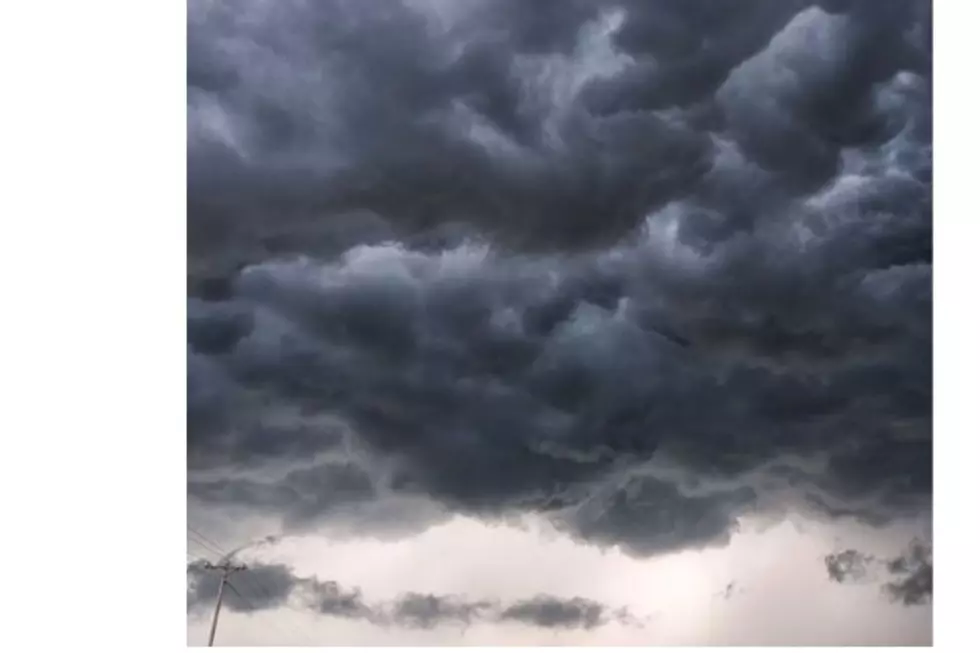

Supercell Storms Could Produce Damaging Hail For Cheyenne, Laramie
The Cheyenne Office of the National Weather Service says southeast Wyoming, including Cheyenne and Laramie, now face an enhanced risk of severe storms on Tuesday afternoon end evening [June 23].

The agency has posted a graphic showing the timeline for possible severe weather"
Here is an updated graphic showing our thinking on thunderstorm timing. A first round of activity along the I-25 corridor is forecast this afternoon between 2 to 6 PM, with a second round beginning during the mid-afternoon in our western zones and moving eastward through the evening and nighttime hours. Storms will be capable of all hazards with a notable large hail risk!
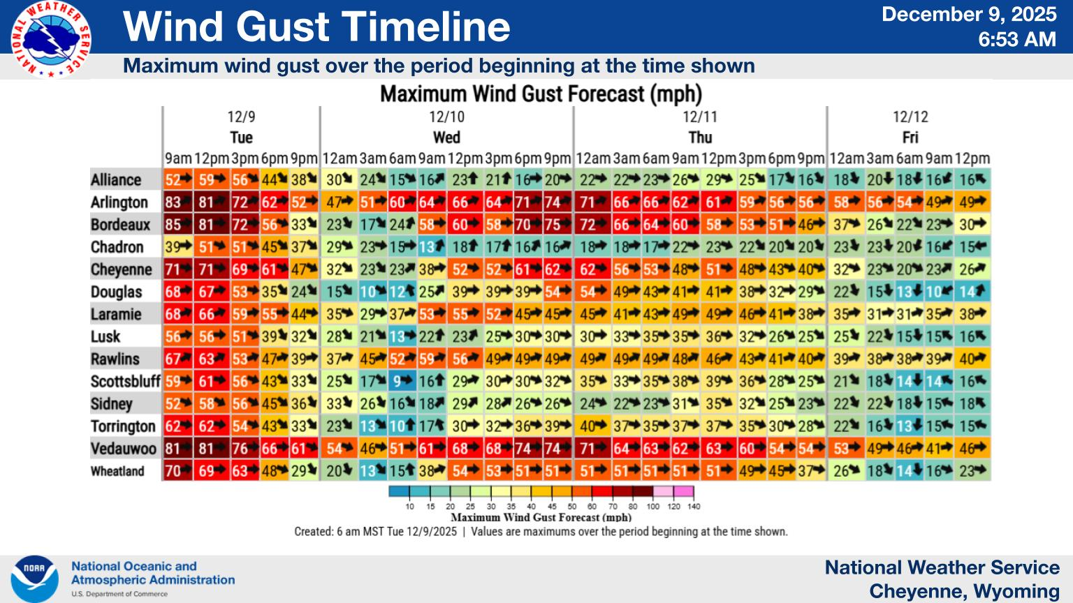
Agency Issues Weather Statement Including Enhanced Risk
The agency issued a weather statement that includes the following:
- An Enhanced Risk (Level 3 out of 5) for Severe Thunderstorms is in place this afternoon and evening, primarily in southeast Wyoming, including Laramie and Cheyenne.
- Supercell thunderstorms are expected today and have the potential to produce all severe weather hazards, including tornadoes. However, the primary hazard remains large, damaging hail.
- There is lower confidence in storms surviving eastward into western Nebraska due to a strong capping inversion.
- Numerous showers and thunderstorms are anticipated Wednesday and Thursday with a risk for severe thunderstorms continuing.
What's New:
- Minor tweaks were made to the Storm Prediction Center outlooks for Tuesday, which decreased the probability of tornadoes, and better focused the highest hail risk over Albany, Laramie, and Platte counties.
You can see more detailed information, including a timeline for likely severe weather here.
Frontier Days Parade 2025
More From KGAB