

Severe Storms, Large Hail, Possible Tornadoes Expected In SE Wyoming
The Cheyenne Office of the National Weather Service has issued a Severe Thunderstom Watch for southeast Wyoming, including Cheyenne and Laramie.
The agency posted the following on it's website on Saturday afternoon:
Scattered to numerous severe storms are still on track for this afternoon and evening. In the PM update the slight risk has been expanded to the northwest to account for a severe winds threat. A severe thunderstorm watch has been issued for all our area counties until 9 PM tonight. All severe hazards are possible today, including very large hail, strong to damaging winds, a few tornadoes, and localized flash flooding, particularly in recent burn areas. Be ready to seek shelter if storms approach and have multiple ways to receive warnings!
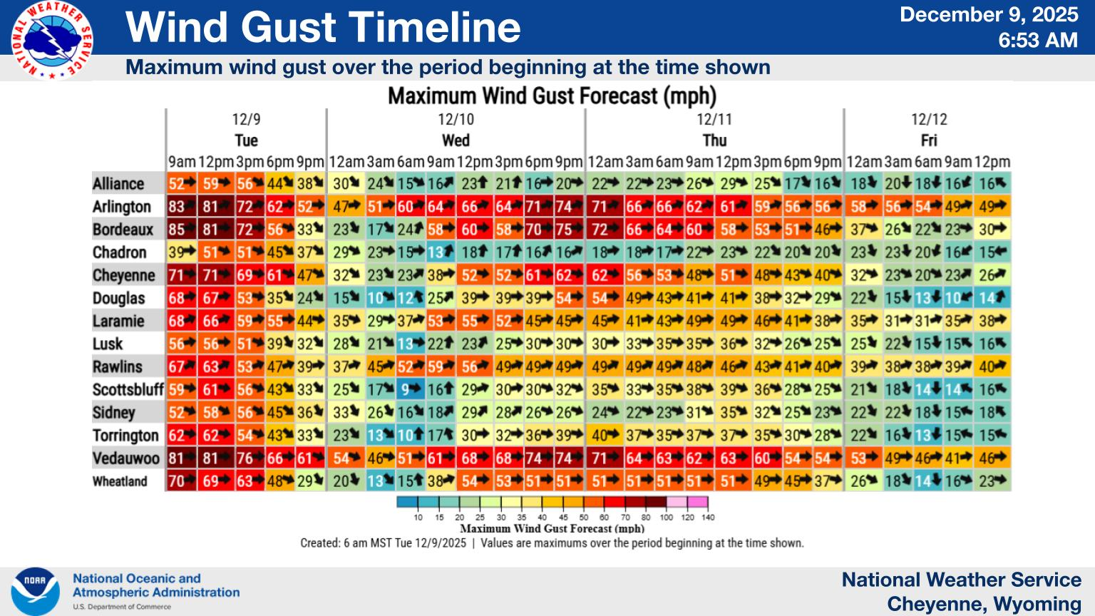
Cheyenne, Laramie Forecasts
Cheyenne Forecast
Check Out the Damages from Cheyenne's Wild Spring Wind Storm
Gallery Credit: Doug Randall
More From KGAB