Cheyenne NWS: Damaging Winds, Large Hail Possible Today
The Cheyenne Office of the National Weather Service is warning about possible strong to severe storms in parts of southeast Wyoming today, especially along the Interstate 25 corridor.
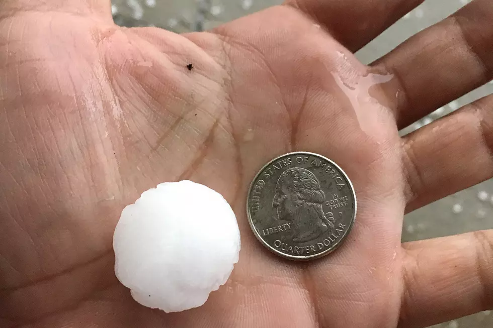
The main hazards with the storms are likely to be large hail and possibly some damaging winds. The agency posted the following on its website:
Strong to severe storms will be possible mainly along and east of the I-25 corridor this afternoon and evening. The main threat with these storms will be some microbursts producing wind gusts up to 60 mph and possibly some isolated large hail up to quarter size.

Here is the forecast for Cheyenne:
Today
A 20 percent chance of showers and thunderstorms after 3pm. Some storms could be severe, with large hail, damaging winds, and heavy rain. Partly sunny, with a high near 89. Breezy, with a northwest wind 15 to 20 mph, with gusts as high as 30 mph.
Tonight
A 30 percent chance of showers and thunderstorms, mainly before 9pm. Some storms could be severe, with large hail, damaging winds, and heavy rain. Mostly cloudy, with a low around 61. West wind 10 to 15 mph becoming north in the evening.
Wednesday
A 30 percent chance of showers and thunderstorms after noon. Partly sunny, with a high near 82. West wind 10 to 15 mph becoming east in the afternoon.
Wednesday Night
A 30 percent chance of showers and thunderstorms, mainly before midnight. Mostly cloudy, with a low around 57. Southeast wind 5 to 10 mph.
Thursday
A chance of showers and thunderstorms before noon, then showers and possibly a thunderstorm between noon and 3pm, then showers and thunderstorms after 3pm. High near 72. East southeast wind 5 to 15 mph. Chance of precipitation is 80%.
Thursday Night
Showers and thunderstorms likely before 9pm, then showers likely and possibly a thunderstorm between 9pm and midnight, then a slight chance of showers and thunderstorms after midnight. Mostly cloudy, with a low around 54. Chance of precipitation is 60%.
Friday
A 40 percent chance of showers and thunderstorms after noon. Mostly sunny, with a high near 78.
Friday Night
Mostly clear, with a low around 55.
Saturday
Sunny, with a high near 85.
Saturday Night
Mostly clear, with a low around 57.
Sunday
Sunny and hot, with a high near 91.
Sunday Night
Partly cloudy, with a low around 60.
Monday
Mostly sunny and hot, with a high near 91.
Here is the Laramie Forecast:
Today
A 20 percent chance of showers and thunderstorms after 3pm. Increasing clouds, with a high near 81. Breezy, with a west northwest wind 20 to 25 mph.
Tonight
A 20 percent chance of showers and thunderstorms before midnight. Mostly cloudy, with a low around 57. Breezy, with a west southwest wind 10 to 20 mph.
Wednesday
A 40 percent chance of showers and thunderstorms after noon. Partly sunny, with a high near 77. West wind 10 to 15 mph becoming south southeast in the afternoon.
Wednesday Night
A 20 percent chance of showers and thunderstorms. Mostly cloudy, with a low around 53. East southeast wind 5 to 10 mph.
Thursday
A chance of showers and thunderstorms, then showers and possibly a thunderstorm after noon. High near 66. South wind 5 to 10 mph becoming north in the afternoon. Chance of precipitation is 90%.
Thursday Night
Showers and thunderstorms likely before 9pm, then showers likely and possibly a thunderstorm between 9pm and midnight. Mostly cloudy, with a low around 50. Chance of precipitation is 60%.
Friday
A 40 percent chance of showers and thunderstorms after noon. Mostly sunny, with a high near 70.
Friday Night
Mostly clear, with a low around 53.
Saturday
Sunny, with a high near 76.
Saturday Night
Mostly clear, with a low around 57.
Sunday
Mostly sunny, with a high near 80.
Sunday Night
Partly cloudy, with a low around 59.
Monday
A slight chance of showers and thunderstorms. Mostly sunny, with a high near 82.
Wyoming State Archive Photo Collection
Gallery Credit: Kolby Fedore, TSM
More From KGAB