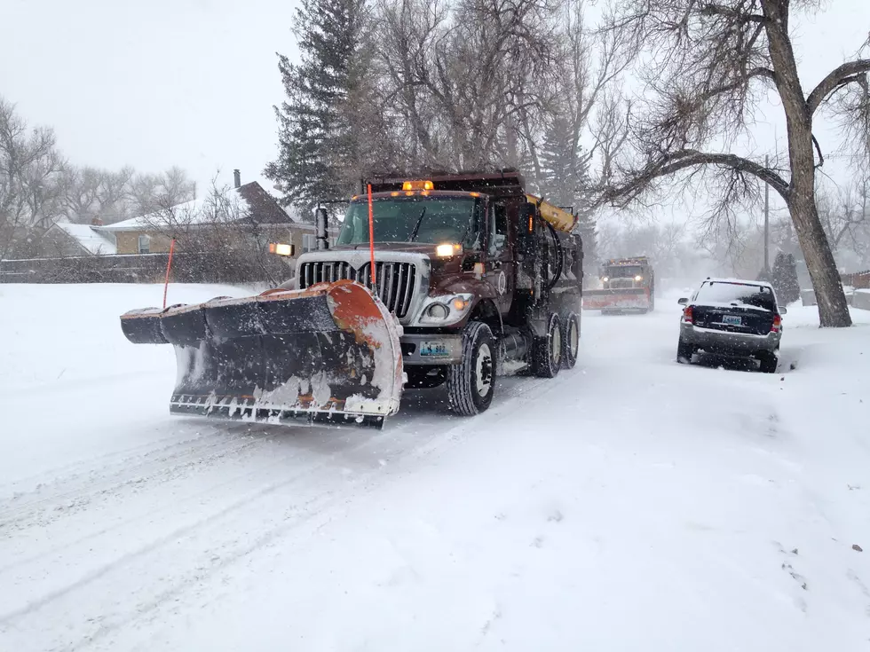
Up to a Foot of Snow Could Hit Cheyenne This Weekend
The National Weather Service in Cheyenne has issued a Winter Storm Watch for southeast Wyoming in effect from Saturday evening through late Sunday night.
The agency issued the following statement Friday morning:

A strong winter system is headed this way from Canada as we speak. Ahead of it, winds will increase, especially in our more wind-prone areas, for which a High Wind Warning is already in effect beginning tonight at 6 PM. Behind the cold front, winds will diminish, but a flash freeze and accumulating snow is on the way. Most locations across the area will see snow accumulations of 6 to 12 inches, 12+ inches along the North Laramie Range, and 1 to 6 inches elsewhere. Snow will begin to fall as soon as noon Saturday, with the main window for accumulation falling between 6 PM Saturday and 6 PM Sunday. In addition to the snow amounts, temperatures will fall about 40 degrees between Saturday and Sunday, with near zero wind chill values expected Sunday morning. A Winter Weather Watch is in effect beginning 6 PM Saturday and continuing through 6 AM Monday night as snow showers may continue after a majority of the accumulation has occurred. Snow packed and icy roads, in addition to reduced visibility in blowing snow is possible through the period. Be prepared if you have weekend travel or outdoor recreation plans. For road conditions across Wyoming and western Nebraska, visit wyoroad.info or 511.nebraska.gov on the Internet, or dial 511 on your phone.
More From KGAB


