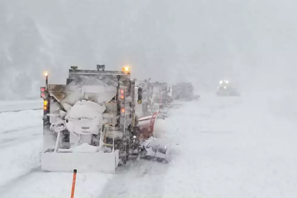
Wind Returns to SE Wyoming Late Tuesday, 60-70 MPH Gusts Possible
Another round of strong wind is set to blast southeast Wyoming late Tuesday night through Wednesday afternoon.
The National Weather Service in Cheyenne issued the following statement Monday afternoon:

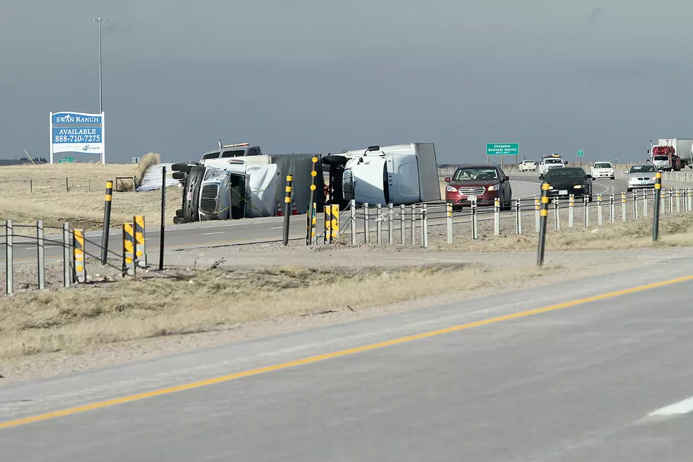
150 PM November 16th – A High Wind Watch is in effect for the wind-prone areas of southeast Wyoming from late Tuesday night through late Wednesday afternoon. The watch incudes Interstate 80 between Rawlins and Laramie, and Cheyenne and Laramie, as well as Interstate 25 between Chugwater and Wheatland. Wind gusts of 60 to 70 MPH will be possible. For the latest weather information, check weather.gov/cys. For the latest road conditions across Wyoming, go to wyoroad.info.

Enter your number to get our free mobile app
The Worst Storms Of The Decade In Southeast Wyoming
More From KGAB