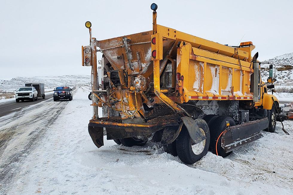
Update: 18 Inches Of Snow, 55 MPH Winds Possible With SE Wyoming Storm
The Cheyenne Office of the National Weather Service has updated it's forecast for a major winter storm that is expected to blast the area over the next few days.
In a late Sunday afternoon email, the agency included the following:
- A winter storm beginning late Sunday night is set to cause major impacts to portions of southeast Wyoming and western Nebraska due to heavy snow and blowing/drifting snow.
- Widespread 12 to 18 inches of snowfall is likely, with areas near the Pine Ridge receiving 20 to 30 inches.
- Along with the heavy snowfall, strong wind gusts 45 to 55+ mph Tuesday, will cause very hazardous conditions across east central Wyoming and the northern Nebraska panhandle
Lowest confidence in snowfall amounts and timing in far southeast Wyoming and the southern Nebraska panhandle, but impactful winter weather is still possible in these areas
The latest forecast includes the following changes:
- Change 1: Winter Storm Watch has been issued for Laramie and Banner Counties.
- Change 2: Additional Winter Storm Warnings have been added across east-central Wyoming and the northern Nebraska panhandle.
Lightning Facts vs Myth
The National Oceanic and Atmospheric Administration, also know as NOAA put together five important facts and myths that we should know about lightning. There are five things you should know when encountering lightning. Keep things things in mind the next time you get stuck in a storm.
More From KGAB