
UPDATE: The Cheyenne Office of the National Weather Service has issued a flood warning for Laramie County:
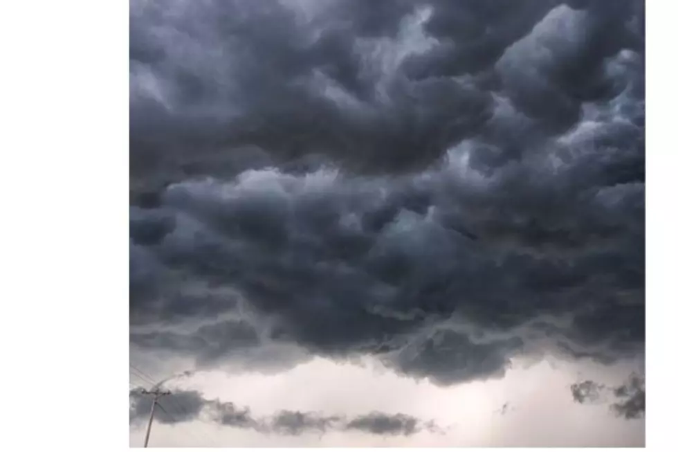
Original Article: The Cheyenne Office of the National Weather Service says southeast residents can expect continuing wet weather through the weekend, with heavy rainfall and flooding possible.

The agency posted the following on its website:

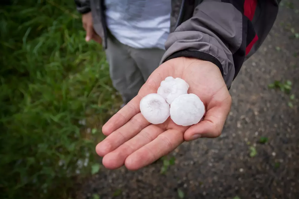
An unsettled and wet weather pattern continues for our area through the weekend. Expect additional rounds of scattered thunderstorms in the afternoon and evening hours on Friday, Saturday, and Sunday. Localized torrential rainfall causing flash flooding, isolated hail (which could accumulate in spots), and strong gusty winds will be the primary concerns each day. For today (Friday), the primary risk area includes Laramie County and the southern Nebraska panhandle with the strongest storms mainly between 3PM and 8PM. Storm chances are lower today outside of this area. For tomorrow (Saturday), the risk for strong thunderstorms encompasses a larger portion of the area, including most areas along and east of I-25.

Cheyenne, Laramie Forecasts

Cheyenne Forecast

Today
Showers and thunderstorms likely, mainly after 3pm. Increasing clouds, with a high near 80. Southwest wind around 10 mph. Chance of precipitation is 70%. New rainfall amounts of less than a tenth of an inch, except higher amounts possible in thunderstorms.
Tonight
Showers likely and possibly a thunderstorm before 9pm, then a chance of showers and thunderstorms between 9pm and midnight. Cloudy, then gradually becoming partly cloudy, with a low around 52. North northwest wind 5 to 10 mph becoming south in the evening. Chance of precipitation is 60%. New precipitation amounts of less than a tenth of an inch, except higher amounts possible in thunderstorms.
Saturday
Showers and possibly a thunderstorm between noon and 3pm, then a chance of showers and thunderstorms after 3pm. High near 77. West northwest wind around 10 mph becoming north northeast in the afternoon. Chance of precipitation is 80%.
Saturday Night
A 40 percent chance of showers and thunderstorms before midnight. Partly cloudy, with a low around 49. Northeast wind 5 to 10 mph becoming southwest after midnight.
Sunday
Showers likely and possibly a thunderstorm between noon and 3pm, then showers and thunderstorms likely after 3pm. Mostly sunny, with a high near 77. West southwest wind 5 to 10 mph becoming south in the morning. Chance of precipitation is 60%.
Sunday Night
A slight chance of showers and thunderstorms before 9pm, then a slight chance of showers between 9pm and midnight. Partly cloudy, with a low around 50. Chance of precipitation is 20%.
Monday
A 10 percent chance of showers and thunderstorms after noon. Mostly sunny, with a high near 81.
Monday Night
Partly cloudy, with a low around 54.
Tuesday
A slight chance of showers and thunderstorms after noon. Mostly sunny, with a high near 85.
Tuesday Night
A chance of showers and thunderstorms before midnight. Mostly cloudy, with a low around 53.
Wednesday
A chance of showers and thunderstorms. Mostly sunny, with a high near 80.
Wednesday Night
A chance of showers and thunderstorms. Mostly cloudy, with a low around 51.
Thursday
A slight chance of showers and thunderstorms. Mostly sunny, with a high near 81.
Laramie Forecast
Today
A chance of showers and thunderstorms between noon and 3pm, then showers likely and possibly a thunderstorm after 3pm. Partly sunny, with a high near 77. West wind 10 to 15 mph. Chance of precipitation is 60%. New rainfall amounts of less than a tenth of an inch, except higher amounts possible in thunderstorms.
Tonight
A chance of showers and thunderstorms before 9pm, then a slight chance of showers between 9pm and midnight. Mostly cloudy, with a low around 50. West wind 5 to 10 mph becoming south southeast in the evening. Chance of precipitation is 50%.
Saturday
Showers likely and possibly a thunderstorm after noon. Partly sunny, with a high near 73. South wind 5 to 10 mph becoming north northwest in the afternoon. Chance of precipitation is 70%.
Saturday Night
A chance of showers and thunderstorms before 9pm, then a chance of showers between 9pm and midnight. Partly cloudy, with a low around 47. North wind 5 to 10 mph becoming south after midnight. Chance of precipitation is 30%.
Sunday
A 20 percent chance of showers and thunderstorms after noon. Mostly sunny, with a high near 75. South southwest wind around 5 mph becoming west northwest in the morning.
Sunday Night
Partly cloudy, with a low around 48.
Monday
Mostly sunny, with a high near 78.
Monday Night
Partly cloudy, with a low around 51.
Tuesday
A chance of showers and thunderstorms after noon. Mostly sunny, with a high near 81. Breezy.
Tuesday Night
A chance of showers and thunderstorms before midnight. Mostly cloudy, with a low around 50.
Wednesday
A chance of showers and thunderstorms. Partly sunny, with a high near 78.
Wednesday Night
A chance of showers and thunderstorms. Mostly cloudy, with a low around 48.
Thursday
A slight chance of showers and thunderstorms. Mostly sunny, with a high near 79.

Wyoming's Vintage Rail Restorations

Out in a corner of southeast Wyoming, working from old nuclear missile silos, old trains and train cars are being restored.

Vintage Rail Restorations is a specialized firm dedicated to the restoration and preservation of historic railroad equipment, including passenger cars, cabooses, and vintage locomotives.

Visit their Facebook page at this link to see more.

Gallery Credit: Glenn Woods

More From KGAB