Southeast Wyoming Storm May Bring Blowing Snow
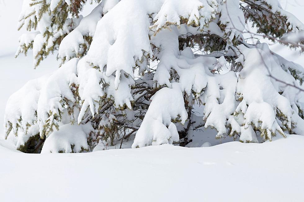
The National Weather Service Office in Cheyenne is warning about a winter storm that will hit the area on Thursday.
Forecaster David Levin outlines the possible impacts of the storm
Precipitation Type/Amounts: Low confidence. Precipitation will start as rain in most areas. Cold air to the north and west will eventually be drawn into the system Thursday night. Snow is most likely first for areas above 8000 ft including the I-80 summit. As temperatures cool through Thursday night, snow levels will lower. By Friday morning, snow levels could be as low as 5000 ft. Timing of the arrival of the colder air with the precipitation will be crucial in determining snowfall amounts. There could be a period of heavy snowfall for much of southeast Wyoming and potentially into the Nebraska Panhandle especially late Thursday night into early Friday.
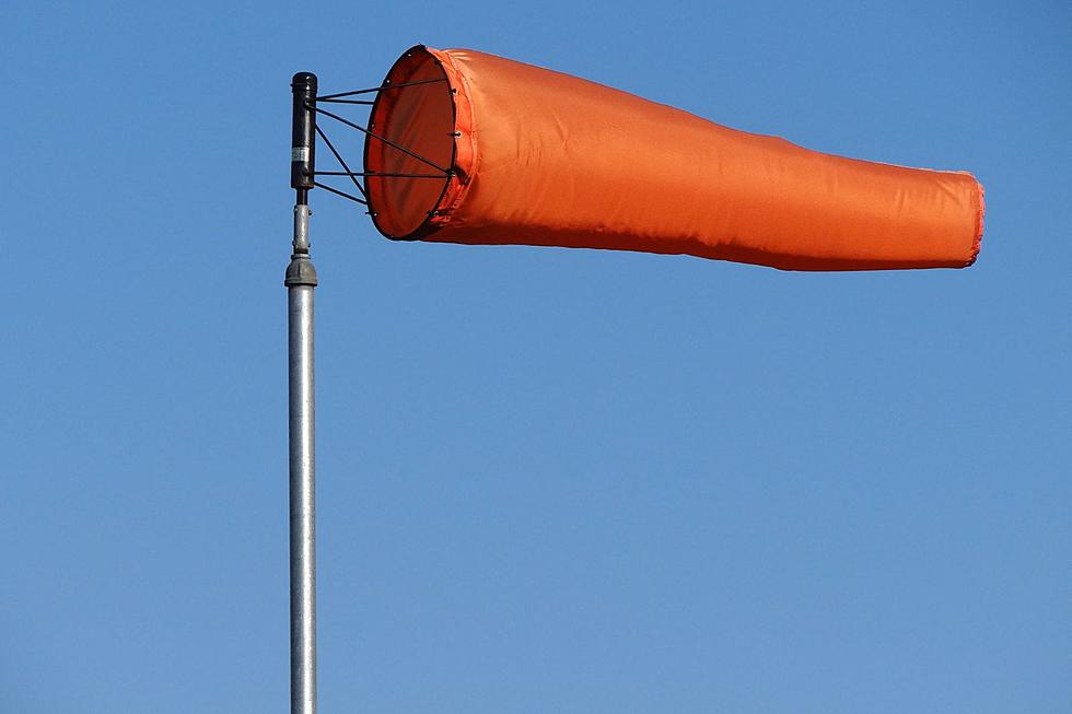
Winds: As the storm system strengthens, strong northerly winds will develop especially from the Laramie Range eastward. These winds will have the potential to cause significant blowing snow impacts especially for the I-80 summit.
Timing:
Rain changing to snow above 8000 feet as early as Thursday afternoon
Rain changing to snow over southeast Wyoming by late Thursday night
Rain could change to snow for the Nebraska Panhandle Friday morning (most uncertainty here)
Snowfall should end from west to east through the day on Friday, however northerly winds will remain strong through Friday.
Levin says forecasters don;t know yet how much snow the storm is likely to bring.
More From KGAB
