Severe Thunderstorm Warning Issued for SE Laramie County
Severe Thunderstorm Warning
WYC021-252315-
/O.NEW.KCYS.SV.W.0167.180725T2224Z-180725T2315Z/
BULLETIN - IMMEDIATE BROADCAST REQUESTED
Severe Thunderstorm Warning
National Weather Service Cheyenne WY
424 PM MDT WED JUL 25 2018
The National Weather Service in Cheyenne has issued a
* Severe Thunderstorm Warning for...
Southeastern Laramie County in southeastern Wyoming...
* Until 515 PM MDT.
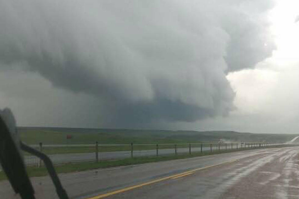
* At 423 PM MDT, a severe thunderstorm was located near South
Greeley, or 7 miles southeast of Cheyenne, moving southeast at 30
mph.
HAZARD...70 mph wind gusts and quarter size hail.
SOURCE...Trained weather spotters. This storm has a history of
producing quarter sized hail and wind gusts up to 70 MPH.
IMPACT...Hail damage to vehicles is expected. Expect considerable
tree damage. Wind damage is also likely to mobile homes,
roofs, and outbuildings.
* Locations impacted include...
Cheyenne, Burns, Hillsdale, Carpenter, South Greeley, Ranchettes
and Fox Farm-College.
This includes Interstate 80 in Wyoming between mile markers 364 and
396.
This replaces the Severe Thunderstorm Warning which was previously
in effect for the warned area.
PRECAUTIONARY/PREPAREDNESS ACTIONS...
Large hail and damaging winds and continuous cloud to ground
lightning is occurring with this storm. Move indoors immediately.
Lightning is one of nature`s leading killers. Remember, if you can
hear thunder, you are close enough to be struck by lightning.
Torrential rainfall is occurring with this storm, and may lead to
flash flooding. Do not drive your vehicle through flooded roadways.
&&
LAT...LON 4104 10484 4121 10470 4123 10409 4100 10427
4100 10478
TIME...MOT...LOC 2223Z 304DEG 26KT 4107 10469
HAIL...1.00IN
WIND...70MPH
$$
HammerMore From KGAB


