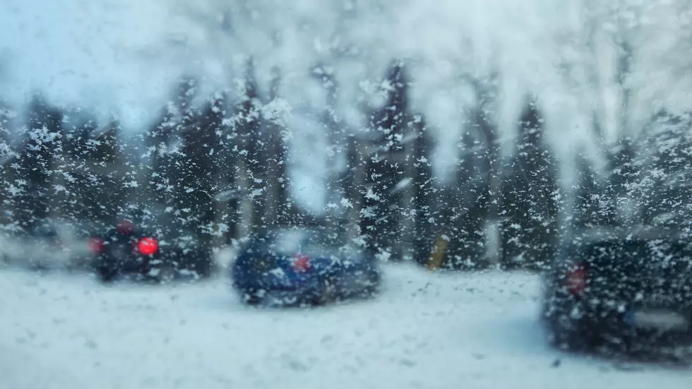
Former Winter Storm Watches for most of Southeast Wyoming and the Nebraska Panhandle have now been upgraded to Winter Storm and Blizzard Warnings.

At last report Cheyenne was facing a Winter Storm Warning, while Laramie was facing a high wind warning.  Cheyenne was facing a projected low temperature of -17 and Laramie -15 with strong winds and snow expected.

That's according to the Cheyenne Office of the National Weather Service:

Winter Storm Watches have been upgraded to either a Winter Storm Warning or Blizzard Warning for most of southeast Wyoming and western Nebraska Tuesday afternoon through Wednesday night. Warning areas west of the Laramie Range are likely to see over 8 inches of snow, and warning areas along and east of the Laramie Range are likely to see over 6 inches of snow. Areas of blowing snow are possible which could significantly reduce visibility. The Sierra Madre and Snowy ranges are under a Winter Storm Warning starting early Monday morning and continuing through early Thursday morning. The mountains could see between 1 and 3 feet of snow with localized higher amounts possible over 9500 feet. Blowing snow is also likely with whiteout conditions possible. Be sure to check back for updates to this forecast!


Here is the forecast for Cheyenne:

ashington's Birthday
Mostly sunny, with a high near 45. Windy, with a west wind 40 to 45 mph, with gusts as high as 60 mph.
Tonight
Partly cloudy, with a steady temperature around 35. Windy, with a west wind 35 to 40 mph, with gusts as high as 55 mph.
Tuesday
Rain likely after 5pm. Increasing clouds, with a high near 47. Windy, with a west southwest wind 30 to 35 mph decreasing to 20 to 25 mph in the afternoon. Winds could gust as high as 50 mph. Chance of precipitation is 60%.
Tuesday Night
Snow. Low around 2. Wind chill values between -5 and zero. Southwest wind 10 to 15 mph becoming northeast after midnight. Chance of precipitation is 90%. New snow accumulation of 3 to 5 inches possible.
Wednesday
Snow. High near 8. Northeast wind around 15 mph. Chance of precipitation is 100%.
Wednesday Night
Snow likely before 11pm. Cloudy, then gradually becoming partly cloudy, with a low around -17. Chance of precipitation is 70%.
Thursday
Partly sunny, with a high near 15.
Thursday Night
A slight chance of snow before 11pm. Mostly cloudy, with a low around 0.
Friday
A slight chance of snow after 11am. Partly sunny, with a high near 30.
Friday Night
Partly cloudy, with a low around 15.
Saturday
Mostly sunny, with a high near 39. Breezy.
Saturday Night
Mostly clear, with a low around 22. Breezy.
Sunday
Sunny, with a high near 41. Breezy.
Here is the forecast for Laramie:
Washington's Birthday
Mostly sunny, with a high near 38. Windy, with a west wind around 40 mph, with gusts as high as 60 mph.
Tonight
Mostly clear, with a low around 27. Windy, with a west wind 30 to 40 mph, with gusts as high as 60 mph.
Tuesday
A 20 percent chance of snow after 11am. Partly sunny, with a high near 41. Windy, with a west southwest wind 25 to 30 mph, with gusts as high as 45 mph.
Tuesday Night
Snow. Low around 7. Wind chill values between zero and 5. Southwest wind 10 to 15 mph becoming east after midnight. Winds could gust as high as 25 mph. Chance of precipitation is 90%. New snow accumulation of 1 to 3 inches possible.
Wednesday
Snow. Patchy blowing snow. High near 14. Breezy, with an east wind 15 to 20 mph, with gusts as high as 30 mph. Chance of precipitation is 100%.
Wednesday Night
Snow likely before 11pm. Mostly cloudy, with a low around -15. Chance of precipitation is 60%.
Thursday
Partly sunny, with a high near 22. Breezy.
Thursday Night
Mostly cloudy, with a low around 4.
Friday
A slight chance of snow after 11am. Partly sunny, with a high near 31. Breezy.
Friday Night
Mostly cloudy, with a low around 13. Breezy.
Saturday
Mostly sunny, with a high near 34. Breezy.
Saturday Night
Mostly clear, with a low around 18. Breezy.
Sunday
Sunny, with a high near 39. Breezy.

More From KGAB