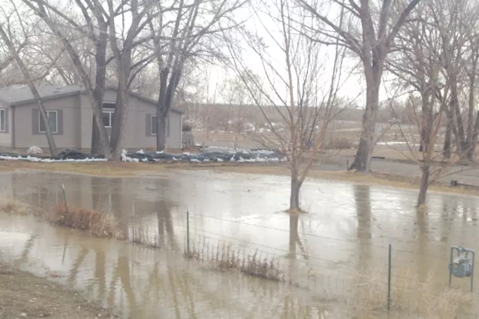
Flooding Concerns With Wyoming’s Spring Thaw
Wyoming is facing above-normal snowpack across the state, which could lead to dangers from flooding this spring.
Jim Fahey with the National Weather Service in Riverton says that the entirety of the cowboy state is seeing above-normal snowpack, currently.
"The whole state is about 115% to 125% of normal," says Fahey. "The highest amounts are still in the north-central part of the state. The Powder River, the Big Horn River, the Tongue River, and the Shoshoni Basin."
As compared to last year, numbers from the United States Drought monitor reported that during March of 2013, 84-percent of the state was considered to be in severe drought.
Fahey goes on to say that the highest potential for flooding west-side of the Big Horn from Shell Creek southward, Ten-Sleep Creek, The Knollwood River, The Encampment River and the North Platte River in the area where it flows into Saratoga. The Wind River near Riverton is also showing moderate to high potential for flooding this spring.
The trigger for flooding can come with quick snow melt coupled with rainfall.
"Real high flows can occur if we have a warm up, for a couple or three days, and then we have a rainstorm on top of that melting snow," says Fahey. "Just keep a look out for weather trends through the spring."
The National Weather Service is also predicting flooding in the Sierra Madres and the Snowy Range.
More From KGAB


