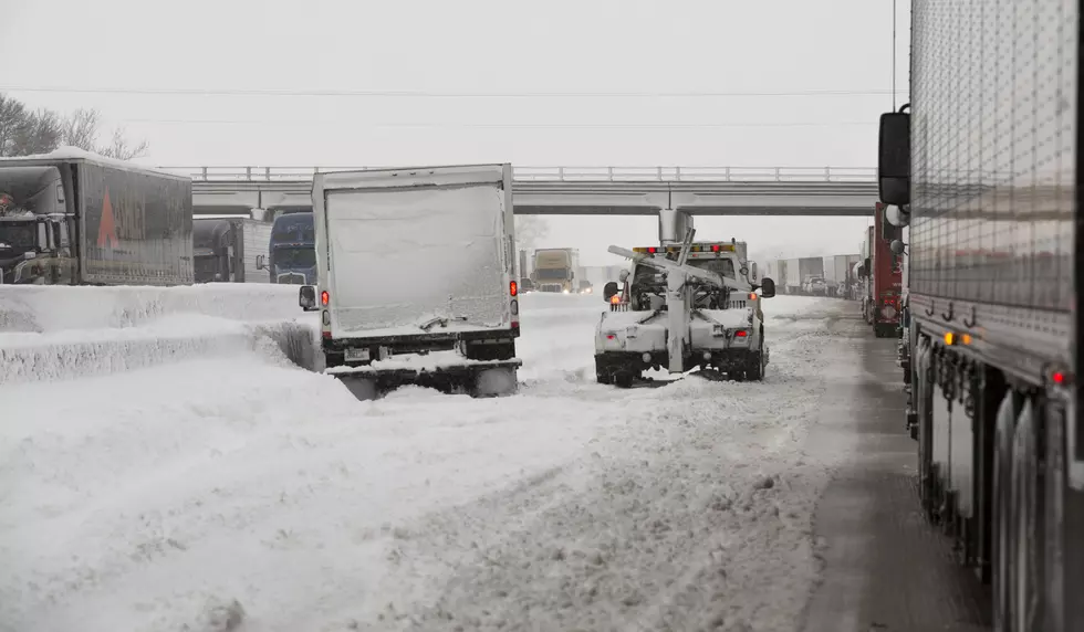
Cheyenne Under Blizzard Warning, Could Get 8 Inches of Snow
Forecasters with the Cheyenne office of the National Weather Service are predicting 5-8 inches of snow for the Cheyenne area through Friday.
The city, along with much of southeast Wyoming and the Nebraska panhandle, is also under a blizzard warning.
The weather service sent out an email on Thursday morning detailing the expected impacts of the winter storm:
- Forecast remains on track for widespread winter weather event today through Friday morning.
- Winter Weather Headlines including Blizzard Warnings across the Nebraska Panhandle and parts of southeastern Wyoming.
- Increasing confidence in the timing of the rain to snow transition with better chances of a wintry mix preceding blizzard conditions, particularly in the northern Nebraska Panhandle and along the Pine Ridge where we could see up to 0.20 inches of ice accumulation.
- North to northeast winds 25-35 mph with gusts to 50 mph expected across the High Plains, along and east of the Interstate 25 corridor, and along the I-80 Summit and Arlington areas.
- Winter Weather is expected to impact the region today, with ice, snow and blowing snow. Winter Weather Advisories and Blizzard Warnings now in effect as moisture spreads north and winds begin their steady climb. Heaviest snowfall is expected this afternoon, especially along the Cheyenne Ridge with 50 MPH wind gusts likely. This will result in hazardous travel conditions in blowing and drifting snow with reduced visibility and slick roadways. Winter weather is expected to continue into tonight and early Friday morning. Don’t forget about your pets as this storm approaches and bring them indoors or provide adequate shelter. Also of note is the wind chill temperatures near zero tonight before sunrise. For the latest forecast updates: weather.gov/cys.


More From KGAB