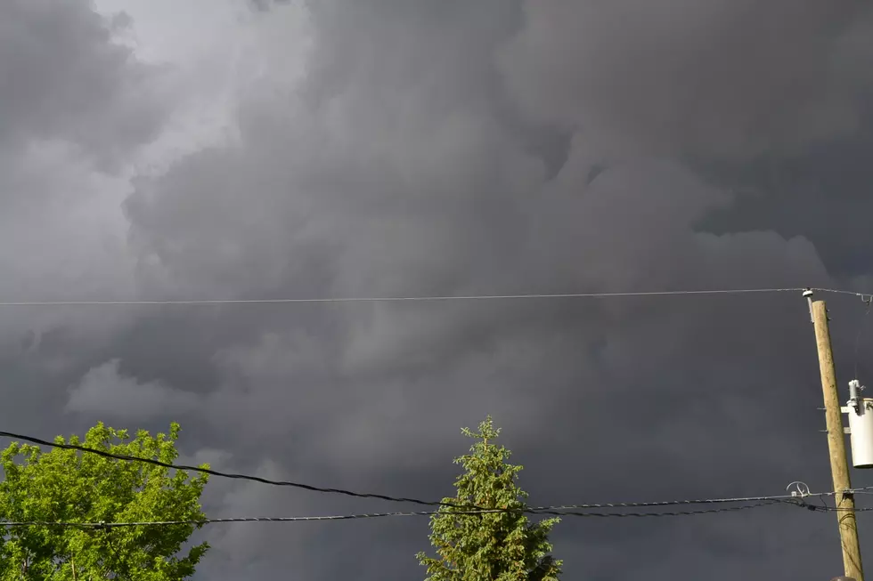
Baseball-Size Hail, Tornadoes Possible In SE Wyoming, Panhandle
The Cheyenne Office of the National Weather Service is warning about the possibility of baseball size hail, heavy rain, and even a few tornadoes for parts of southeast Wyoming (mostly east of Interstate 25) and the Nebraska Panhandle this afternoon and evening.
The agency posted this statement on their website slightly before 11 a.m.:
''Here's the latest on the severe thunderstorm risk across southeast Wyoming and Nebraska Panhandle this afternoon. We're under an "Enhanced Risk" area for severe thunderstorms today, mainly for areas east of Interstate 25 today, up into the northern Nebraska Panhandle. All modes of severe thunderstorms are possible today in this enhanced area, including very large hail, damaging downburst winds and tornadoes. Timing wise, storms expected to develop after 2PM this afternoon and continue through early evening. Storms expected to track from southwest to northeast at a fairly fast speed around 30-35 mph. Keep an eye on the sky today and be ready to take shelter should a storm move over your location. Relay reports of severe weather to your local law enforcement office and to the National Weather Service in Cheyenne. Be safe out there today!"
7 Tips for Driving in Wyoming When It's Foggy
More From KGAB


