Another Winter Storm Coming to Central Wyoming on Friday
Enjoy the sunshine while you can as you dig out from the snow earlier this week, because another winter storm is due on Friday through mid-Saturday, according to the Riverton office of the National Weather Service.
A winter storm watch will be in effect throughout central Wyoming from Utah to Nebraska beginning Friday morning through Friday night.
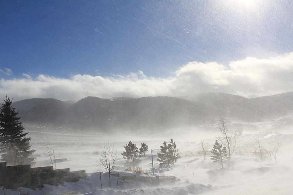
Heavy snow is possible with total accumulations of six to 11 inches, with higher amounts in the mountains.
Strong winds also are possible statewide, and especially for Natrona and Johnson counties.
In Natrona County, Thanksgiving Day will be mostly sunny with a high of 39 degrees.
But on Friday about 11 a.m., the winter storm watch kicks in with a 70 percent chance of precipitation and a high of 35 degrees. Northwest winds will blow from 7 mph to 14 mph with gusts as high as 21 mph.
Patchy, blowing snow will continue until Saturday, with a chance of precipitation at 80%, and a high near 28 degrees.
West winds will blow from 20 mph to 28 mph with gusts as high as 41 mph.
Conditions in Johnson County are expected to be more severe with wind gusts as high as 60 mph. Blizzard conditions are possible.
Likewise, high wind watches will be in effect for Laramie, Albany, Platte and Goshen counties.
In Sheridan County, a winter storm warning will be in effect from Friday through Saturday.
The storm could make travel very difficult, with the hazardous conditions including slippery roads impacting the morning and evening commutes.
The considerable blowing snow could significantly reduce visibility, and strong winds could cause tree damage.
You can monitor weather and traffic conditions on the National Weather Service website, and on wyoroad.info.

More From KGAB


