Winter Weather, Double-Digit Subzero Windchills To Hit SE Wyoming
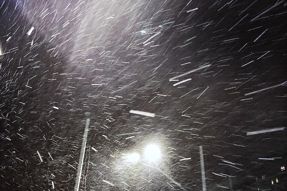
Southeast Wyoming residents can expect an arctic coild frone to bring windchills of -15 or colder along with snow to blast the area starting on Monday.

Get our free mobile app
That's according to the Cheyenne Office of the National Weather Service. The agency posted the following on its website:
Here's your temperature outlook for the next 5 days. For some spots, this will be the last day we break out of freezing, but for much of the region expect to remain below freezing until Thursday at the earliest with very cold overnight lows alongside some chances of snow through the middle of the week.

Cheyenne, Laramie Forecast
Cheyenne Forecast
Tonight
Mostly cloudy, then gradually becoming clear, with a low around 13. West wind around 5 mph becoming calm after midnight.
Monday
A 40 percent chance of snow after 11am. Increasing clouds, with a high near 26. North wind 5 to 15 mph.
Monday Night
Snow likely, mainly before 11pm. Mostly cloudy, with a low around 2. Wind chill values between -5 and -10. Northeast wind 5 to 10 mph becoming south southeast after midnight. Chance of precipitation is 70%. New snow accumulation of less than a half inch possible.
Tuesday
Snow, mainly after 11am. High near 16. Wind chill values between -10 and zero. South southeast wind around 10 mph. Chance of precipitation is 80%. New snow accumulation of less than a half inch possible.
Tuesday Night
Snow showers. Low around 0. East southeast wind 5 to 10 mph becoming north northeast after midnight. Chance of precipitation is 90%.
Wednesday
Snow showers likely, mainly before 11am. Mostly cloudy, with a high near 11. Chance of precipitation is 60%.
Wednesday Night
Partly cloudy, with a low around -2.
Thursday
Mostly sunny, with a high near 25.
Thursday Night
A slight chance of snow showers after 11pm. Mostly cloudy, with a low around 13.
Friday
A chance of snow showers, mainly after 11am. Mostly cloudy, with a high near 42.
Friday Night
A chance of snow showers. Mostly cloudy, with a low around 12.
Saturday
A chance of snow showers. Partly sunny, with a high near 31.
Saturday Night
A slight chance of snow showers. Mostly cloudy, with a low around 11. Breezy.
Sunday
Mostly sunny, with a high near 39. Breezy.
Laramie Forecast
Tonight
Clear, with a low around 12. West wind 5 to 15 mph.
Monday
A 30 percent chance of snow after 11am. Increasing clouds, with a high near 22. Wind chill values between zero and 10. West northwest wind 5 to 15 mph becoming northeast in the afternoon.
Monday Night
Snow likely, mainly before 11pm. Mostly cloudy, with a low around 0. Wind chill values between -10 and -15. East wind around 15 mph becoming south southeast after midnight. Chance of precipitation is 60%. New snow accumulation of less than one inch possible.
Tuesday
Snow, mainly after 11am. High near 14. Wind chill values between -5 and -15. South wind 10 to 15 mph becoming east northeast in the afternoon. Chance of precipitation is 80%. New snow accumulation of less than one inch possible.
Tuesday Night
Snow showers. Low around -1. Northeast wind 10 to 15 mph. Chance of precipitation is 90%.
Wednesday
Snow showers likely, mainly before 11am. Mostly cloudy and cold, with a high near 7. Chance of precipitation is 60%.
Wednesday Night
Partly cloudy, with a low around -3. Breezy.
Thursday
Mostly sunny, with a high near 24. Breezy.
Thursday Night
A chance of snow showers. Mostly cloudy, with a low around 20. Breezy.
Friday
A chance of snow showers. Mostly cloudy, with a high near 34. Breezy.
Friday Night
Snow showers likely. Mostly cloudy, with a low around 14.
Saturday
A chance of snow showers. Mostly cloudy, with a high near 27. Blustery.
Saturday Night
A slight chance of snow showers. Mostly cloudy, with a low around 15. Windy.
Sunday
A slight chance of snow showers. Mostly sunny, with a high near 33. Windy.
WYDOT Urges 'Don't Crowd the Plow!' After 105 Plows Hit in 5 Years
Gallery Credit: Joy Greenwald
More From KGAB


