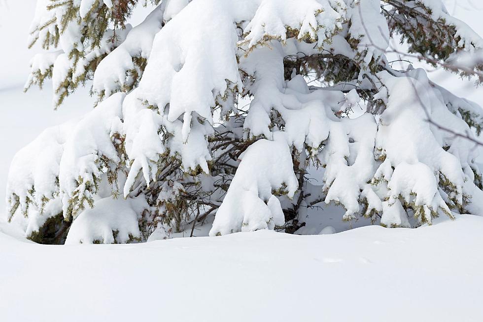
Up To Two Feet Of Snow Possible In Southeast Wyoming Mountains Through Saturday
The Cheyenne Office of the National Weather Service says the Sierra Madre and Snowy Range mountains from tonight through Saturday.
That's according to a post on the agency's website:
7 AM January 26th – Light snow showers will be possible throughout Thursday across southeast Wyoming and portions of the Nebraska Panhandle. Looking ahead to this evening, we will begin to see a prolonged period of moderate to heavy snowfall for the Snowy and Sierra Madres Ranges where 1 to 2 feet of snow accumulation will be possible through Saturday. Therefore, Winter Storm Warnings are in effect for these areas as heavy snowfall and blowing snow with strong winds could be hazardous to those outdoors. Snow showers will develop across additional areas of Carbon County early Friday morning through Saturday. Snow totals could widely vary, but on and off snowfall through Saturday that could be heavy at times may result in up to 8 inches of accumulation for a few lower elevation areas of Carbon County. However, this snowfall will be drawn out over this extended period of time. Additional headlines may be needed for areas along the Pine Ridge as accumulating snowfall will be possible beginning Friday night. This active pattern may not be over by Saturday. Another round of moderate to heavy snowfall looks possible Sunday into Monday, especially across Carbon and Albany Counties in Wyoming. For the latest local forecast, be sure to check weather.gov/cys
Infamous Colorado Crimes
More From KGAB
