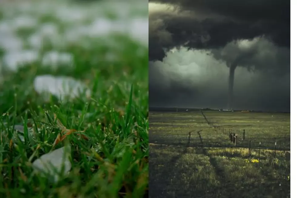
Tornadoes, Baseball Size Hail Possible In SE Wyoming On Wednesday
The Cheyenne Office of the National Weather Service says southeast Wyoming could see some severe storms on Wednesday.
The storms could feature a few tornadoes, strong winds and hail up to baseball size.
The agency posted this statement on Tuesday:
20/255AM: Heads up for Wednesday, severe thunderstorms are looking like a good possibility. The atmosphere will be primed for severe storms to develop (high moisture, strong instability and adequate wind shear). A "Slight Risk" area has already been identified for the entire Panhandle and parts of the southeast Wyoming plains. Very large hail (possibly to baseballs), downburst winds to 70 mph and a few tornadoes are possible Wednesday afternoon through mid evening for the area. Be ready for active weather Wednesday afternoon/evening. Have multiple ways to receive warnings and stay tuned to later updates in the forecast. Be safe!
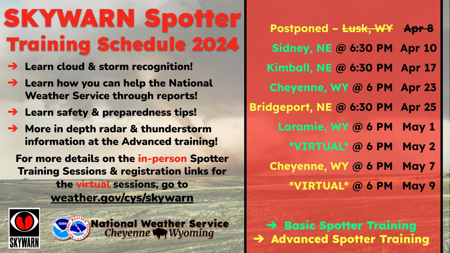
Here is the forecast fore Cheyenne:
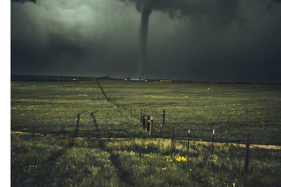
May 24 Landspout Spirals Over Cheyenne
Gallery Credit: Phylicia Peterson, Townsquare Media Laramie/Cheyenne
More From KGAB