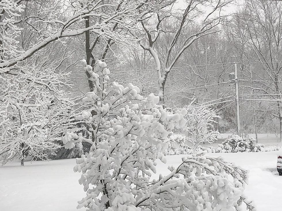
Forecasters with the Cheyenne Office of the National Weather Service say another wave of snow and winter weather is likely in southeast Wyoming this afternoon.

But things should warm up by this weekend. Both Cheyenne and Laramie remain under Winter Weather Advisories until 6 am on Friday,

The agency posted the following on its website:

Here are the updated snowfall probabilities now that the first part of the event is over. A lull in the snow is expected this morning before the second wave of this storm arrives. Snow is expected to develop again this afternoon and continue into the evening hours. The best window to see accumulations will be later this afternoon and into the evening when light to moderate snow is falling.

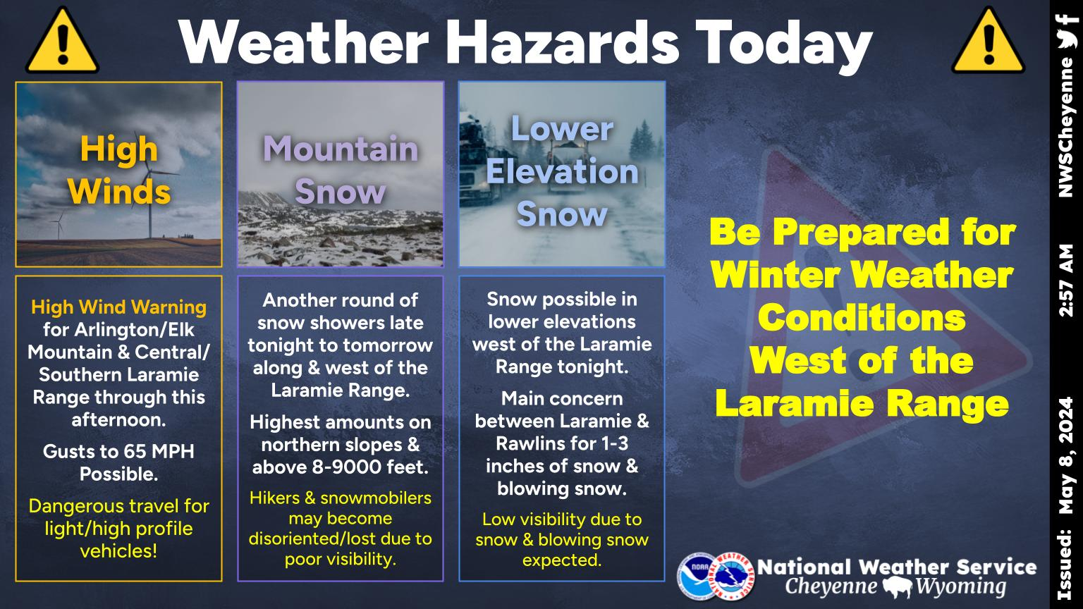
SE Wyoming Forecast For the Next Few Days

Forecast For Cheyenne and Laramie

Cheyenne Forecast:

Today
Snow likely, mainly after 9am. Cloudy, with a high near 34. Breezy, with a north northeast wind 20 to 25 mph, with gusts as high as 40 mph. Chance of precipitation is 70%. Total daytime snow accumulation of 1 to 3 inches possible.
Tonight
Snow likely. Cloudy, with a low around 24. North northeast wind 10 to 15 mph, with gusts as high as 25 mph. Chance of precipitation is 70%. New snow accumulation of 1 to 2 inches possible.
Friday
A 20 percent chance of snow before noon. Mostly cloudy, with a high near 38. East wind 10 to 15 mph becoming south in the afternoon.
Friday Night
Partly cloudy, with a low around 24. South wind around 10 mph becoming north northwest after midnight.
Saturday
Mostly sunny, with a high near 46. North wind around 10 mph.
Saturday Night
Partly cloudy, with a low around 26.
Sunday
Mostly sunny, with a high near 46.
Sunday Night
Partly cloudy, with a low around 26.
Monday
Sunny, with a high near 56.
Monday Night
Mostly clear, with a low around 31.
Tuesday
Sunny, with a high near 57.
Tuesday Night
Mostly clear, with a low around 31.
Wednesday
Mostly sunny, with a high near 58.
Laramie Forecast:
Today
Snow. Patchy blowing snow. High near 28. Blustery, with a northeast wind around 25 mph, with gusts as high as 40 mph. Chance of precipitation is 80%. Total daytime snow accumulation of 1 to 3 inches possible.
Tonight
Snow likely, mainly before midnight. Patchy blowing snow before 5am. Cloudy, with a low around 19. Blustery, with an east wind 20 to 25 mph decreasing to 10 to 15 mph after midnight. Winds could gust as high as 35 mph. Chance of precipitation is 70%. New snow accumulation of 1 to 2 inches possible.
Friday
Partly sunny, with a high near 35. Southeast wind 10 to 15 mph becoming west southwest in the afternoon.
Friday Night
Partly cloudy, with a low around 17. Northwest wind 5 to 10 mph.
Saturday
Mostly sunny, with a high near 38. West northwest wind around 5 mph becoming east northeast in the afternoon.
Saturday Night
Partly cloudy, with a low around 22.
Sunday
Mostly sunny, with a high near 38.
Sunday Night
Partly cloudy, with a low around 22.
Monday
Sunny, with a high near 46.
Monday Night
Mostly clear, with a low around 26.
Tuesday
Sunny, with a high near 47.
Tuesday Night
Mostly clear, with a low around 28.
Wednesday
Mostly sunny, with a high near 47. Breezy.

A Year in Photos: 2023

Gallery Credit: Kolby Fedore, Townsquare Media

More From KGAB