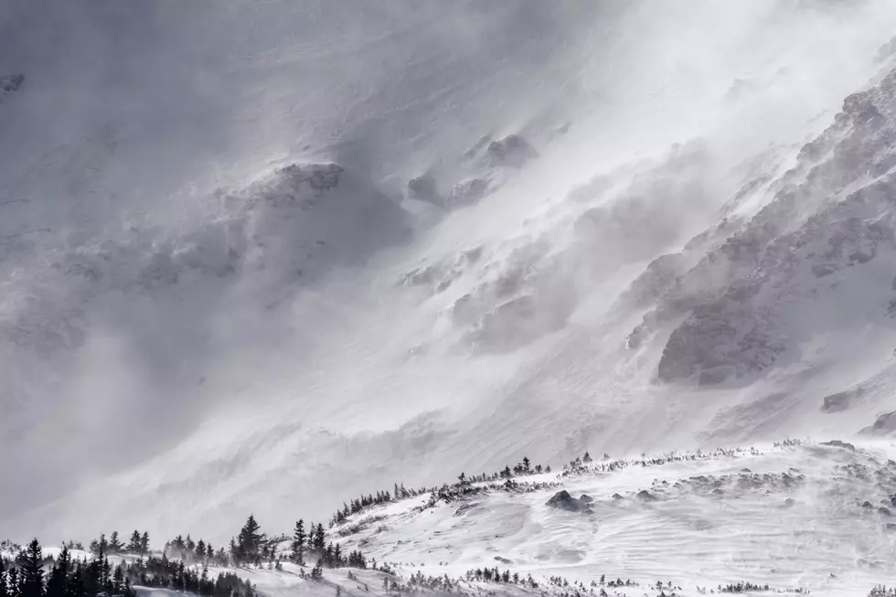

SE Wyoming Expecting Cooler, Wetter Weather, Possible Snow
After a long stretch of summer-like weather, southeast Wyoming residents can expect more typical fall weather this week, including some snow at higher elevations.
That's according to the Cheyenne Office of the National Weather Service.
The agency posted the following on its website:
"A big pattern change will switch our recent warm and dry weather to much cooler and likely wetter conditions this week. Most locations will receive rain, while the higher peaks will see some snow start to pile up. High temperatures may not break 50 degrees on Wednesday."
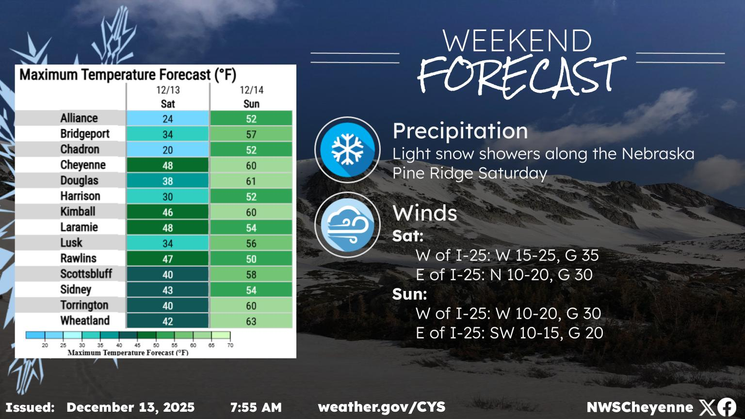
Cheyenne, Laramie Forecasts
Cheyenne Forecast
Columbus Day
Sunny, with a high near 72. West southwest wind 10 to 15 mph becoming east in the afternoon.
Tonight
Scattered showers, mainly between 9pm and 3am. Mostly cloudy, with a low around 39. North northeast wind around 10 mph. Chance of precipitation is 30%.
Tuesday
Scattered showers, mainly after noon. Mostly cloudy, then gradually becoming sunny, with a high near 60. East northeast wind around 10 mph becoming south in the afternoon. Chance of precipitation is 30%.
Tuesday Night
Showers likely and possibly a thunderstorm, then showers after 9pm. Low around 37. East wind around 10 mph. Chance of precipitation is 80%.
Wednesday
Rain, possibly mixed with snow showers, becoming all rain after noon. High near 46. East wind around 10 mph. Chance of precipitation is 90%.
Wednesday Night
Showers. Low around 32. Chance of precipitation is 80%.
Thursday
A 50 percent chance of showers. Mostly sunny, with a high near 51. Breezy.
Thursday Night
Mostly clear, with a low around 27.
Friday
Sunny, with a high near 55.
Friday Night
Mostly clear, with a low around 32.
Saturday
Sunny, with a high near 70.
Saturday Night
Mostly clear, with a low around 41.
Sunday
Sunny, with a high near 71.
Laramie Forecast
Columbus Day
Sunny, with a high near 70. Breezy, with a west southwest wind 15 to 20 mph, with gusts as high as 30 mph.
Tonight
Scattered showers and thunderstorms, then showers likely after midnight. Mostly cloudy, with a low around 37. South southwest wind around 10 mph becoming southeast after midnight. Chance of precipitation is 70%. New precipitation amounts of less than a tenth of an inch, except higher amounts possible in thunderstorms.
Tuesday
Showers likely, with thunderstorms also possible after 3pm. Mostly sunny, with a high near 60. South wind 10 to 15 mph becoming north in the afternoon. Chance of precipitation is 60%.
Tuesday Night
Rain showers before 3am, then rain, possibly mixed with snow showers. Some thunder is also possible. Low around 33. East southeast wind 10 to 15 mph. Chance of precipitation is 80%. Little or no snow accumulation expected.
Wednesday
Rain and snow showers, becoming all rain after 3pm. High near 45. East southeast wind 10 to 15 mph. Chance of precipitation is 80%.
Wednesday Night
Rain showers before 9pm, then rain, possibly mixed with snow showers. Low around 29. Chance of precipitation is 80%.
Thursday
Rain and snow showers likely, mainly before noon. Partly sunny, with a high near 46. Breezy. Chance of precipitation is 60%.
Thursday Night
Partly cloudy, with a low around 22.
Friday
Sunny, with a high near 53.
Friday Night
Mostly clear, with a low around 27.
Saturday
Sunny, with a high near 62.
Saturday Night
Mostly clear, with a low around 31.
Sunday
Sunny, with a high near 63.
QUIZ: Can You Identify These Awesome '80s Movies From Just a Single Freeze-Frame?
From a stranded alien trying to phone home to a group of kids on a treasure hunt, see how many of these iconic ’80s blockbusters you can recognize from a single freeze frame.
Gallery Credit: Stephen Lenz
More From KGAB