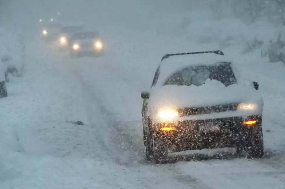
Snow, Cold Weather Expected in SE Wyoming This Week
It looks like old man winter will be making his arrival in southeast Wyoming this week.
That's according to the Cheyenne Office of the National Weather Service, which post4ed this statement on its website:
''After a few rain showers early this morning, a trend toward warm and dry weather will persist through Tuesday. Breezy conditions are expected each afternoon with near-critical fire weather conditions likely, especially west of the Laramie Range. Meteorologists are tracking a very strong cold front which will arrive during the day on Wednesday, resulting in an abrupt change to significantly colder temperatures. Low temperatures on Wednesday night will drop into the teens, with highs not making it above freezing on Thursday. This storm system also has the potential to bring widespread accumulating snow to the region. There is a significant amount of uncertainty with snowfall amounts, but travel will likely be impacted across the region to some degree. Those with travel plans later this week are urged to monitor the latest forecasts and stay tuned for possible watches, advisories or warnings.'
More From KGAB