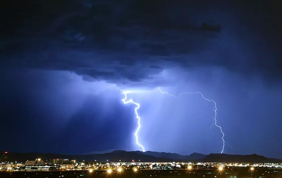
Severe Thunderstorms, Strong Winds, Hail Possible In SE Wyoming
The Cheyenne Office of the National Weather Service says severe thunderstorms are possible across southeast Wyoming and the Nebraska Panhandle today (July 17).
Some of the storms could include strong winds and hail up to a quarter in size. Some flooding is also possible in the Panhandle.
The agency posted this statement on its website:
Scattered thunderstorms are expected Saturday afternoon and a few storms may be severe with strong winds and hail. Storms will mostly form along the Laramie Range around mid-afternoon moving towards the Nebraska Panhandle by the evening hours. Stay weather aware and be sure to have a way to receive weather warnings and forecast updates!
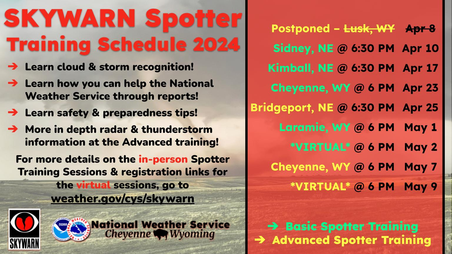
There is a slight risk across the western Nebraska Panhandle. Thunderstorms will begin along the Laramie Range around mid-afternoon moving towards the Nebraska Panhandle by the evening hours. This will begin at 2PM in southeastern Wyoming moving eastward towards Nebraska. Timing for southeastern Wyoming is 3PM-7PM and western Nebraska 5PM-10PM. Slow moving storms may produce flash flooding in areas such as Sidney, Scottsbluff, and Bridgeport.
LOOK: What major laws were passed the year you were born?
Gallery Credit: Katelyn Leboff
More From KGAB


