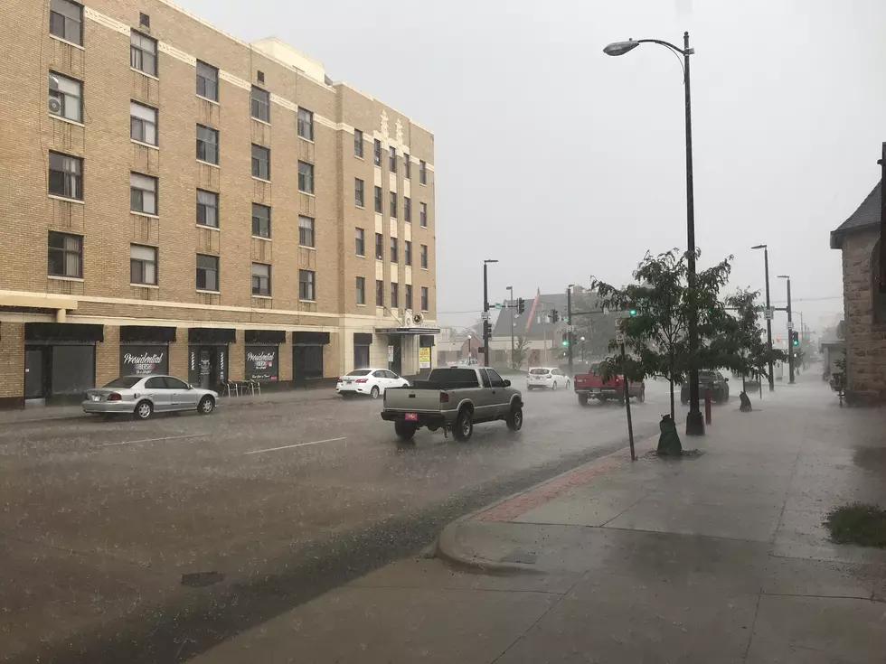
SE Wyoming Weather Forecast For This Week: More Rain
The Cheyenne Office of the National Weather Service says we can expect another wet week in southeast Wyoming.
The agency posted the following on it's website:

Here is the forecast for Cheyenne:
Today
A 40 percent chance of showers and thunderstorms, mainly after 3pm. Areas of fog before 10am. Otherwise, mostly cloudy, with a high near 59. North northeast wind 5 to 10 mph becoming southeast in the afternoon.
Tonight
Mostly cloudy, then gradually becoming mostly clear, with a low around 43. South wind around 10 mph becoming west after midnight.
Tuesday
A 50 percent chance of showers and thunderstorms after noon. Sunny, with a high near 72. West northwest wind 10 to 15 mph becoming north in the afternoon. Winds could gust as high as 25 mph.
Tuesday Night
A 30 percent chance of showers and thunderstorms before midnight. Partly cloudy, with a low around 45. North northeast wind 5 to 10 mph becoming south in the evening.
Wednesday
Showers likely and possibly a thunderstorm after noon. Mostly sunny, with a high near 71. West wind 10 to 15 mph becoming north in the afternoon. Chance of precipitation is 60%.
Wednesday Night
Showers likely and possibly a thunderstorm before midnight, then a slight chance of showers. Mostly cloudy, with a low around 46. Chance of precipitation is 60%.
Thursday
A chance of showers, then showers likely and possibly a thunderstorm after noon. Partly sunny, with a high near 63. Chance of precipitation is 70%.
Thursday Night
A chance of showers and thunderstorms before midnight, then a slight chance of showers. Mostly cloudy, with a low around 42.
Friday
A slight chance of showers, then a chance of showers and thunderstorms after noon. Partly sunny, with a high near 60.
Friday Night
A slight chance of showers before midnight. Mostly cloudy, with a low around 42.
Saturday
A chance of showers and thunderstorms. Mostly sunny, with a high near 69.
Saturday Night
A slight chance of showers and thunderstorms. Partly cloudy, with a low around 45.
Sunday
A chance of showers and thunderstorms. Mostly sunny, with a high near 72.
Here is the Laramie forecast:
Today
A chance of showers and thunderstorms before 3pm, then showers likely and possibly a thunderstorm between 3pm and 5pm, then a chance of showers and thunderstorms after 5pm. Areas of fog before 10am. Otherwise, partly sunny, with a high near 56. East southeast wind 5 to 10 mph. Chance of precipitation is 60%. New rainfall amounts of less than a tenth of an inch, except higher amounts possible in thunderstorms.
Tonight
Partly cloudy, with a low around 43. South southeast wind around 10 mph becoming west after midnight.
Tuesday
Showers likely and possibly a thunderstorm after noon. Sunny, with a high near 65. Breezy, with a west wind 15 to 20 mph becoming north in the afternoon. Chance of precipitation is 60%.
Tuesday Night
A 30 percent chance of showers and thunderstorms before midnight. Partly cloudy, with a low around 43. North wind 5 to 15 mph becoming south in the evening.
Wednesday
Showers likely and possibly a thunderstorm after noon. Mostly sunny, with a high near 65. Northwest wind 10 to 15 mph. Chance of precipitation is 70%.
Wednesday Night
Showers likely and possibly a thunderstorm before midnight, then a slight chance of showers. Mostly cloudy, with a low around 44. Chance of precipitation is 60%.
Thursday
A chance of showers, then showers and possibly a thunderstorm after noon. High near 57. Chance of precipitation is 80%.
Thursday Night
A chance of showers and thunderstorms before midnight, then a slight chance of showers. Mostly cloudy, with a low around 40.
Friday
A slight chance of showers, then a chance of showers and thunderstorms after noon. Partly sunny, with a high near 56.
Friday Night
Partly cloudy, with a low around 41.
Saturday
A chance of showers and thunderstorms. Mostly sunny, with a high near 63.
Saturday Night
Mostly clear, with a low around 43.
Sunday
A chance of showers and thunderstorms. Mostly sunny, with a high near 66.
The Ten Most Tornado-Prone Counties in America
When it comes to the topic of tornadoes, Oklahoma is universally known around the world for producing some of the biggest, including the last F6 ever measured... but it'd probably surprise most Okies that the Sooner State doesn't even crack the top five of the most tornado-prone counties in America.
Gallery Credit: Kelso
More From KGAB


