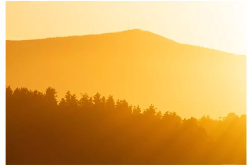
SE Wyoming Temperature Records Fall, More Hot Weather Saturday
High temperature records fell in many areas of southeast Wyoming and the Nebraska Panhandle on Friday as an early-summer heatwave baked the area.

Get our free mobile app
Cheyenne fell short of it's all-time record for the date of 96 degrees, set way back in 1874. But the Cheyenne Office of the National Weather Service says Laramie and a number of other communities did set new records.
The agency posted the following on it's website:

And it looks like we can expect more hot weather today.
Cheyenne and Laramie Forecasts
Cheyenne Forecast
Today
Sunny and hot, with a high near 90. West southwest wind 10 to 15 mph becoming south in the afternoon.
Tonight
Mostly clear, with a low around 55. South southeast wind 10 to 15 mph becoming west after midnight.
Sunday
Sunny, with a high near 87. Breezy, with a southwest wind 10 to 20 mph.
Sunday Night
Mostly clear, with a low around 46. Breezy, with a west northwest wind 15 to 20 mph becoming north 10 to 15 mph after midnight. Winds could gust as high as 30 mph.
Monday
Mostly sunny, with a high near 74. North wind 5 to 15 mph becoming southeast in the afternoon. Winds could gust as high as 25 mph.
Monday Night
A 40 percent chance of showers and thunderstorms before midnight. Mostly cloudy, with a low around 50.
Tuesday
A 50 percent chance of showers and thunderstorms after noon. Partly sunny, with a high near 77.
Tuesday Night
A chance of showers and thunderstorms before midnight. Mostly cloudy, with a low around 52.
Wednesday
A chance of showers and thunderstorms after noon. Mostly cloudy, with a high near 73.
Wednesday Night
A slight chance of showers and thunderstorms before midnight. Partly cloudy, with a low around 49.
Thursday
Sunny, with a high near 79.
Thursday Night
Partly cloudy, with a low around 52.
Friday
Sunny, with a high near 85.
Laramie Forecast
Today
Sunny, with a high near 86. Breezy, with a southwest wind 15 to 25 mph, with gusts as high as 40 mph.
Tonight
Mostly clear, with a low around 52. South wind 10 to 15 mph, with gusts as high as 25 mph.
Sunday
Mostly sunny, with a high near 80. Breezy, with a southwest wind 15 to 20 mph increasing to 20 to 25 mph in the afternoon. Winds could gust as high as 40 mph.
Sunday Night
Mostly clear, with a low around 38. Breezy, with a west wind 15 to 25 mph becoming north northeast 5 to 10 mph after midnight. Winds could gust as high as 35 mph.
Monday
A 20 percent chance of showers and thunderstorms after noon. Mostly sunny, with a high near 72. Breezy, with an east northeast wind 5 to 10 mph becoming southeast 15 to 20 mph in the afternoon. Winds could gust as high as 30 mph.
Monday Night
A slight chance of showers and thunderstorms before 9pm, then a slight chance of showers between 9pm and midnight. Partly cloudy, with a low around 49. Breezy. Chance of precipitation is 20%.
Tuesday
A 30 percent chance of showers and thunderstorms after noon. Mostly sunny, with a high near 79.
Tuesday Night
A slight chance of showers and thunderstorms before midnight. Mostly cloudy, with a low around 48.
Wednesday
A chance of showers and thunderstorms after noon. Partly sunny, with a high near 73.
Wednesday Night
Mostly clear, with a low around 46.
Thursday
Sunny, with a high near 79.
Thursday Night
Mostly clear, with a low around 49.
Friday
Mostly sunny, with a high near 82.
Laramie County's Most Wanted Fugitives
The Laramie County Sheriff's Office is currently looking for these individuals:
Gallery Credit: Joy Greenwald
More From KGAB


