SE Wyoming Mountains Could Get Two Feet Of Snow Midweek
While it looks like southeast Wyoming residents will be enjoying a nice break in the winter weather today and tomorrow [Feb. 19 and 20], another blast of winter weather could be headed out way towards the middle of the week, according to the Cheyenne Office of the National Weather Service.

That's according to a post on the agency's website:
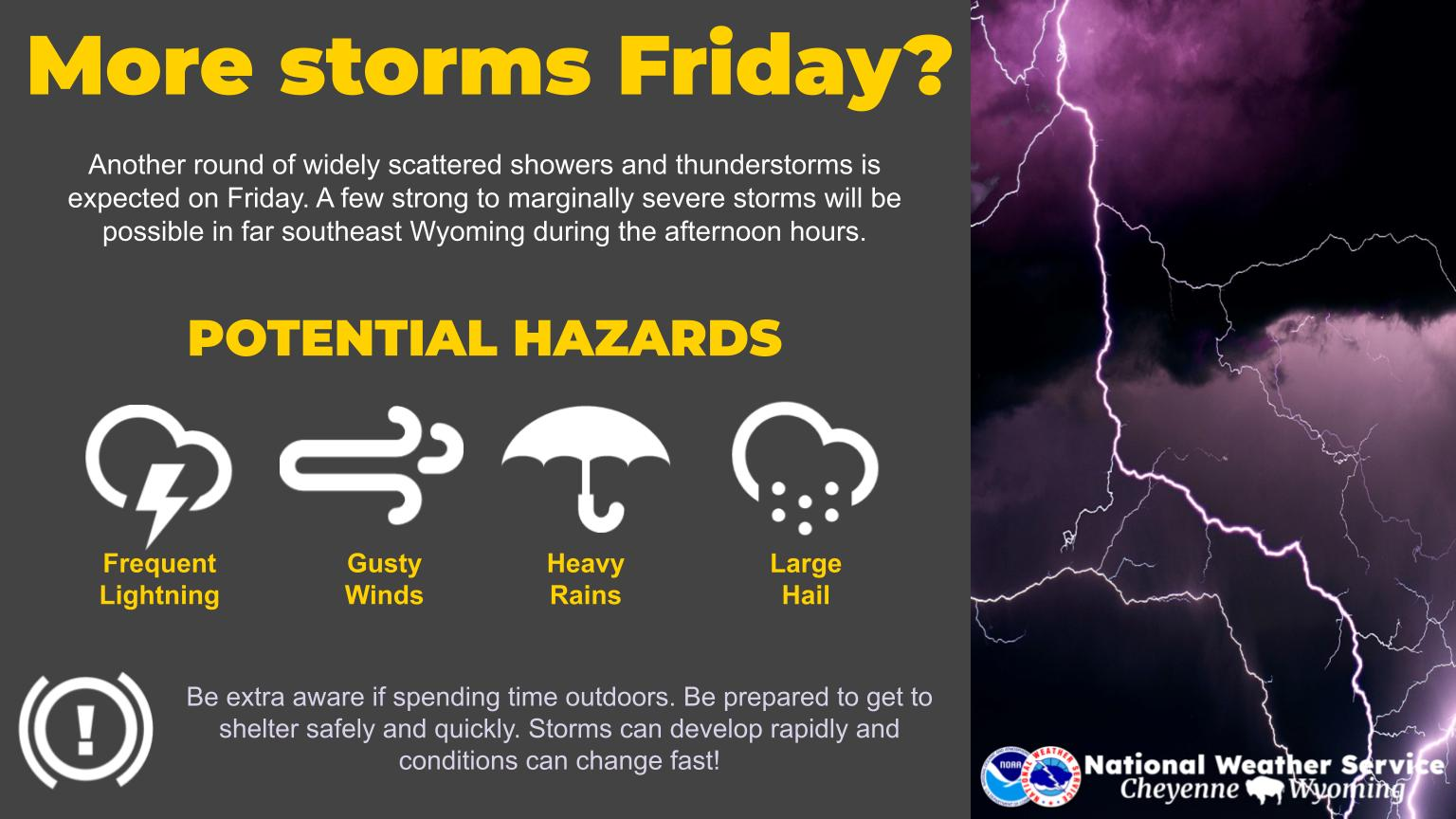
Greetings! Here's an outlook on the weather for southeast Wyoming and Nebraska Panhandle through Thursday. Next weather disturbance moves through the area Wednesday and mainly impacting our southern areas. Could be travel impacts on Interstate 80 Wednesday, mainly west of Cheyenne and in the mountains, By far, the heaviest snow will fall in the Snowy and Sierra Madre Ranges, where 1-2 feet of snow may fall. Lower elevations from Cheyenne to Rawlins expecting around a half inch of snow. Stay tuned!
Cheyenne and Laramie Forecasts:
Cheyenne Forecast:
11+ Cowboy Serenades & Rodeo Songs Featuring Cheyenne, Wyoming
Gallery Credit: Phylicia Peterson, Townsquare Media Laramie/Cheyenne
More From KGAB
