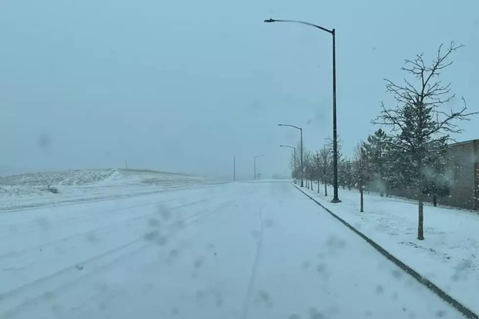
SE Wyoming Forecast: Warm To Start Week, Rain/Snow Later In Week
The Cheyenne Office of the National Weather Service says residents of southeast Wyoming and the Nebraska Panhandle can expect spring or summer weather to start the week, followed by cooler Temperatures and rain and/or snow.
The agency posted this forecast on its website:
A mild few days are expected for the start of the work week with temperatures in the 60 and 70s for areas east of the Laramie Range and 50s and 60s for the west. Some scattered thunderstorms are possible Tuesday afternoon. Temperatures cool down to below average by the end of the week with highs in the 30s to low 50s. Snow and rain showers will also be possible Wednesday through Friday.
Here is the forecast for Cheyenne:
Today
Sunny, with a high near 70. West wind around 15 mph.
Tonight
Mostly cloudy, with a low around 39. Southwest wind 10 to 15 mph.
Tuesday
Partly sunny, with a high near 68. Breezy, with a southwest wind 10 to 15 mph increasing to 20 to 25 mph in the afternoon. Winds could gust as high as 35 mph.
Tuesday Night
Partly cloudy, with a low around 31. Breezy, with a southwest wind 20 to 25 mph becoming northwest after midnight. Winds could gust as high as 35 mph.
Wednesday
A 50 percent chance of showers after noon. Partly sunny, with a high near 49. Breezy, with a northwest wind 15 to 20 mph, with gusts as high as 30 mph.
Wednesday Night
A 50 percent chance of snow showers, mainly before midnight. Mostly cloudy, with a low around 23. Blustery.
Thursday
A slight chance of rain and snow showers before 3pm, then a slight chance of rain showers between 3pm and 4pm, then a slight chance of rain and snow showers after 4pm. Mostly sunny, with a high near 45. Breezy. Chance of precipitation is 20%.
Thursday Night
A chance of snow showers. Mostly cloudy, with a low around 23. Blustery.
Friday
A chance of snow showers. Partly sunny, with a high near 41. Breezy.
Friday Night
A chance of snow showers, mainly before midnight. Mostly cloudy, with a low around 21. Blustery.
Saturday
A slight chance of snow showers. Partly sunny, with a high near 41. Breezy.
Saturday Night
A slight chance of snow showers. Mostly cloudy, with a low around 22. Blustery.
Sunday
A slight chance of showers. Partly sunny, with a high near 52.
Here is the Laramie Forecast:
Today
Mostly sunny, with a high near 61. Breezy, with a west southwest wind 15 to 20 mph, with gusts as high as 30 mph.
Tonight
Partly cloudy, with a low around 39. Southwest wind 10 to 15 mph.
Tuesday
A 20 percent chance of showers after noon. Partly sunny, with a high near 58. Windy, with a southwest wind 10 to 20 mph increasing to 20 to 30 mph in the afternoon. Winds could gust as high as 40 mph.
Tuesday Night
Partly cloudy, with a low around 27. Windy, with a west northwest wind 30 to 40 mph, with gusts as high as 55 mph.
Wednesday
A 50 percent chance of showers after noon. Partly sunny, with a high near 40. Windy, with a west wind 30 to 40 mph decreasing to 20 to 30 mph in the afternoon. Winds could gust as high as 55 mph.
Wednesday Night
A 30 percent chance of snow showers, mainly before midnight. Partly cloudy, with a low around 23. Blustery.
Thursday
A 30 percent chance of snow showers after noon. Mostly sunny, with a high near 37. Breezy.
Thursday Night
A chance of snow showers. Mostly cloudy, with a low around 21. Blustery.
Friday
A chance of snow showers. Partly sunny, with a high near 34. Breezy.
Friday Night
A chance of snow showers, mainly before midnight. Mostly cloudy, with a low around 19. Blustery.
Saturday
A chance of snow showers. Partly sunny, with a high near 34. Breezy.
Saturday Night
A slight chance of snow showers. Mostly cloudy, with a low around 21. Blustery.
Sunday
A slight chance of rain and snow showers. Partly sunny, with a high near 47.
Every US State's Favorite Musician
AKA: Basically, 50 Pictures of Drake:
More From KGAB