NWS Cheyenne: Fierce Winds Sunday-Tuesday, Then More Snow
Wind gusts of up to 65 mph are expected to rip through southeast Wyoming this weekend into early next week, according to the National Weather Service in Cheyenne.
A High Wind Watch is in effect from Saturday afternoon to Sunday afternoon for the central Laramie Range, southwest Platte County, the north Snowy Range foothills, and the south Laramie Range.
URGENT - WEATHER MESSAGE
National Weather Service Cheyenne WY
101 AM MST Fri Jan 6 2023

WYZ106-110-116-070030-
/O.NEW.KCYS.HW.A.0003.230108T0000Z-230109T0000Z/
Central Laramie Range and Southwest Platte County-
North Snowy Range Foothills-South Laramie Range-
Including the cities of Bordeaux, Arlington, Elk Mountain,
Buford, Pumpkin Vine, and Vedauwoo
101 AM MST Fri Jan 6 2023

...HIGH WIND WATCH IN EFFECT FROM SATURDAY AFTERNOON THROUGH
SUNDAY AFTERNOON...

* WHAT...West winds 30 to 40 mph with gusts up to 65 mph
  possible.

* WHERE...Central Laramie Range and Southwest Platte County,
  North Snowy Range Foothills and South Laramie Range.

* WHEN...From Saturday afternoon through Sunday afternoon.

* IMPACTS...Mainly to transportation. Strong cross winds will be
  hazardous to light weight and high profile vehicles, including
  campers and tractor trailers.

PRECAUTIONARY/PREPAREDNESS ACTIONS...

Monitor the latest forecasts and warnings for updates on this
situation. Fasten loose objects or shelter objects in a safe
location prior to the onset of winds.

6/215AM: High Wind Watches have been issued for Saturday afternoon 5PM to Sunday afternoon 5PM. Southwest to west wind gusts of 60-65 mph are possible in the watched areas. Use caution if travelling with light weight and high profile vehicles due to blowover risk! For road conditions, refer to www.wyoroad.info / For the latest forecast, refer to weather.gov/cys
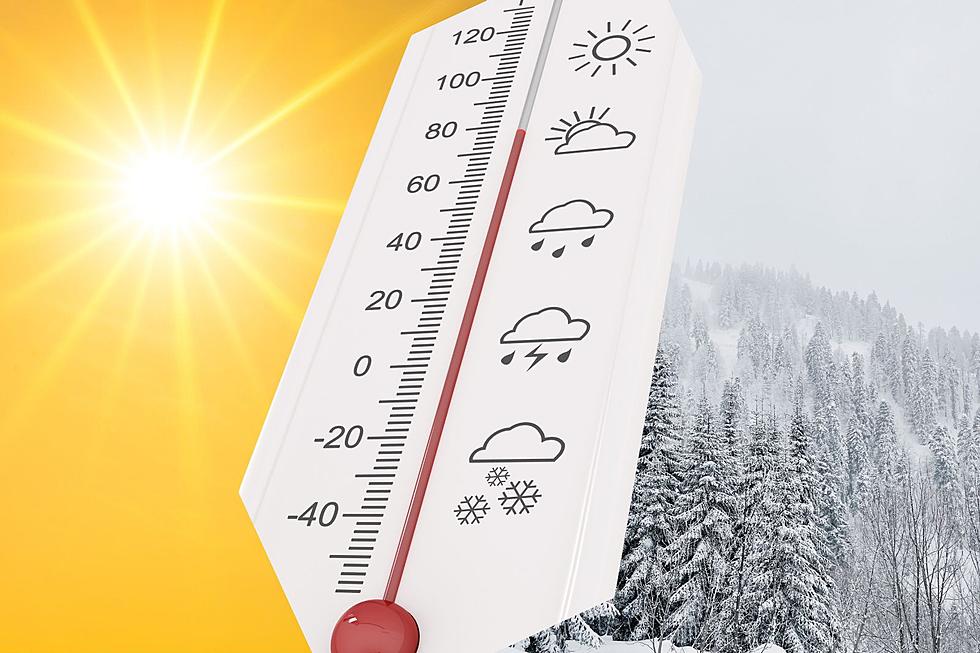
"Winds look to increase Saturday night, especially in the wind prone areas," the NWS said. "These winds continue on and off through Tuesday. Expect wind warnings for the wind prone areas through this time."
The NWS says a front will move through Tuesday night into Wednesday, which will bring fairly widespread snow to the western part of the region.
"A mix of rain and snow can be expected east of the Laramie Range Wednesday," the NWS said.
6/1 AM: Greetings! Here's a look at the weather across southeast Wyoming and Nebraska Panhandle, through the weekend into the middle of next week. Fairly nice Saturday with some mountain snow during the morning. Winds look to increase Saturday night, especially in the wind prone areas. These winds continue on and off through Tuesday. Expect wind warnings for the wind prone areas through this time. Front moves through Tuesday night into Wednesday, with fairly widespread snow west. A mix of rain and snow can be expected east of the Laramie Range Wednesday. Stay tuned!
LOOK: 23 astronomical events to look out for in 2023
Gallery Credit: Martha Sandoval
Here's What Wyomingites REALLY Think About The Wind
More From KGAB