Cooler Weather On The Way, Laramie Could See Snow This Week
Just because the calendar says May doesn't mean it can't snow in higher elevations of southeast Wyoming, including Laramie.
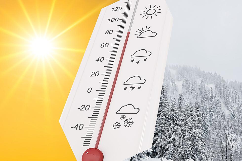
After near-record temperatures on Sunday, things will be cooling off considerably on Wednesday and Thursday. That could even include snow at higher elevations.
That's despite the fact that both Cheyenne and Laramie fell just shy of temperature records for the date on Sunday, May 11, according to the Cheyenne Office of the National Weather Service.
The agency posted the following on its website:

But after a warm start to the work week, cooler, wetter weather is expected:
Cheyenne, Laramie Forecasts
Cheyenne Forecast
Today
Sunny, with a high near 81. South wind 10 to 15 mph.
Tonight
Mostly clear, with a low around 49. South wind 5 to 15 mph.
Tuesday
Mostly sunny, with a high near 80. West wind 10 to 15 mph becoming south in the afternoon.
Tuesday Night
Mostly clear, with a low around 44. Breezy, with a south wind 10 to 20 mph becoming west northwest after midnight. Winds could gust as high as 30 mph.
Wednesday
A 30 percent chance of showers and thunderstorms after noon. Increasing clouds, with a high near 64. Breezy, with a west northwest wind 20 to 25 mph, with gusts as high as 40 mph.
Wednesday Night
A chance of showers and thunderstorms. Mostly cloudy, with a low around 38. Breezy. Chance of precipitation is 30%.
Thursday
A 30 percent chance of showers and thunderstorms after noon. Mostly sunny, with a high near 61. Windy.
Thursday Night
A slight chance of showers and thunderstorms before midnight. Partly cloudy, with a low around 36. Breezy.
Friday
A slight chance of showers and thunderstorms after noon. Mostly sunny, with a high near 65. Breezy.
Friday Night
Mostly cloudy, with a low around 40.
Saturday
A chance of showers and thunderstorms. Partly sunny, with a high near 68.
Saturday Night
A chance of showers and thunderstorms. Mostly cloudy, with a low around 41.
Sunday
Showers likely and possibly a thunderstorm. Partly sunny, with a high near 64. Breezy.
Laramie Forecast
Today
Sunny, with a high near 77. Southwest wind 10 to 15 mph.
Tonight
Mostly clear, with a low around 45. South wind 5 to 15 mph.
Tuesday
Mostly sunny, with a high near 75. South southwest wind 5 to 15 mph.
Tuesday Night
Mostly clear, with a low around 38. South southwest wind 10 to 15 mph becoming west after midnight.
Wednesday
A slight chance of rain and snow showers before 10am, then a chance of rain showers. Some thunder is also possible. Increasing clouds, with a high near 57. Breezy, with a west wind 15 to 20 mph increasing to 20 to 25 mph in the morning. Winds could gust as high as 40 mph. Chance of precipitation is 40%.
Wednesday Night
A chance of rain showers before 7pm, then a chance of rain and snow showers. Some thunder is also possible. Mostly cloudy, with a low around 35. Breezy. Chance of precipitation is 40%.
Thursday
A chance of rain and snow showers before 10am, then a chance of rain showers. Some thunder is also possible. Partly sunny, with a high near 55. Windy. Chance of precipitation is 50%.
Thursday Night
A chance of showers before midnight. Partly cloudy, with a low around 33. Breezy.
Friday
A slight chance of showers and thunderstorms after noon. Mostly sunny, with a high near 60. Breezy.
Friday Night
Mostly cloudy, with a low around 36.
Saturday
A chance of showers and thunderstorms. Partly sunny, with a high near 64.
Saturday Night
A chance of showers and thunderstorms. Mostly cloudy, with a low around 38.
Sunday
Showers likely and possibly a thunderstorm. Partly sunny, with a high near 60. Breezy.
More From KGAB


