National Weather Service Predicting “Two Wave Event” In SE Wyoming
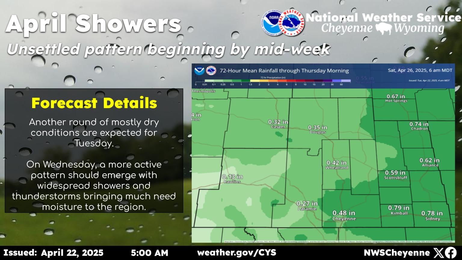
The Cheyenne Office of the National Weather Service is predicting a "two-wave weather event" for southeast Wyoming over the next few days.

Get our free mobile app
The agency posted this statement on its website:
"Here are our updated headlines and forecast snowfall totals. This winter event will set up as two waves with a lull Wednesday during the day. The first wave will primarily affect the Snowy Range, Laramie Range, and areas west, whereas the second wave will affect the Snowy Range, Laramie Range, and areas east. There is still a lot of uncertainty with the snowfall totals after Wednesday, so we have provided only the snowfall totals through Wednesday in this graphic."
- Winter Storm Warnings and Winter Weather Advisories have been issued. Refer to SitRep for timing.
- Worst conditions will be Wednesday night through Thursday across the Snowy and south Laramie Ranges due to a combination of heavy snow and gusty winds up to 35-45 MPH leading to areas of blowing snow.
- If planning to travel Wednesday night through Thursday, please check the latest road conditions at info. Anticipate travel delays and bring a winter survival kit.
- Area ranchers can expect increased impacts to newborn livestock, and livestock in general. Take action to protect your herd!
More From KGAB
