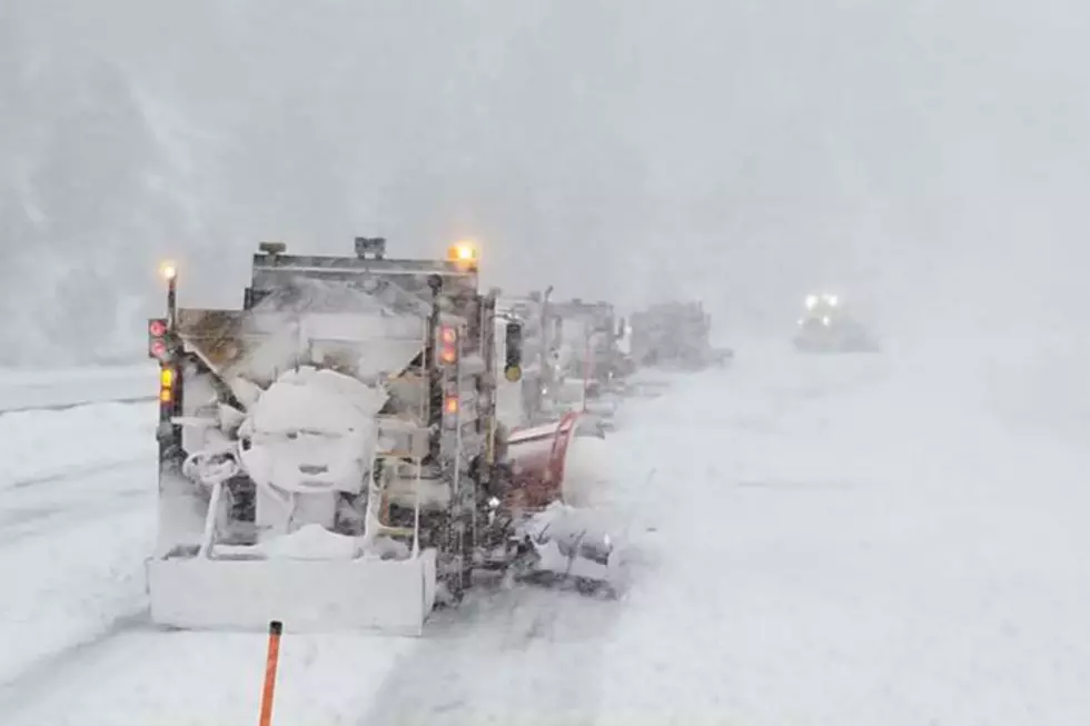
National Weather Service in Cheyenne Warns of High Fire Danger
Warm, dry and windy conditions will bring near critical fire weather to the lower elevations of southeast Wyoming Monday afternoon.
The National Weather Service in Cheyenne has issued the following statement:
Hazardous Weather Outlook
National Weather Service Cheyenne WY
413 AM MDT Mon Sep 23 2019

NEZ002-003-019>021-054-055-095-096-WYZ101>119-241015-
Dawes-Box Butte-Scotts Bluff-Banner-Morrill-Kimball-Cheyenne-
North Sioux-South Sioux-Converse County Lower Elevations-
Niobrara County-North Laramie Range-
Ferris/Seminoe/Shirley Mountains-Shirley Basin-
Central Laramie Range and Southwest Platte County-
East Platte County-Goshen County-Central Carbon County-
North Snowy Range Foothills-Southwest Carbon County-
Sierra Madre Range-Upper North Platte River Basin-Snowy Range-
Laramie Valley-South Laramie Range-South Laramie Range Foothills-
Central Laramie County-East Laramie County-
413 AM MDT Mon Sep 23 2019

This hazardous weather outlook is for portions of western
Nebraska...east central Wyoming...south central Wyoming and
southeast Wyoming.

.DAY ONE...TODAY AND TONIGHT

Near-critical fire weather will occur this afternoon from 12pm
through 8pm across the High Plains and High Terrain of Wyoming.
Relative humidity values will fall to 10 to 15 percent with wind
gusts upwards of 20 to 25 mph at times. If a fire were to occur,
fire spread could be aided by these dry and windy conditions. Fire
weather concerns will reduce into the evening as temperatures
cool.

.DAYS TWO THROUGH SEVEN...TUESDAY THROUGH SUNDAY

Near-critical fire weather conditions will occur once again
Tuesday afternoon as wind gusts increase of 25-30 mph with
humidity near 20 percent. Fire growth could be aided in these
conditions, if one was to occur.

.Spotter information statement...

Spotter activation will not be needed.
More From KGAB