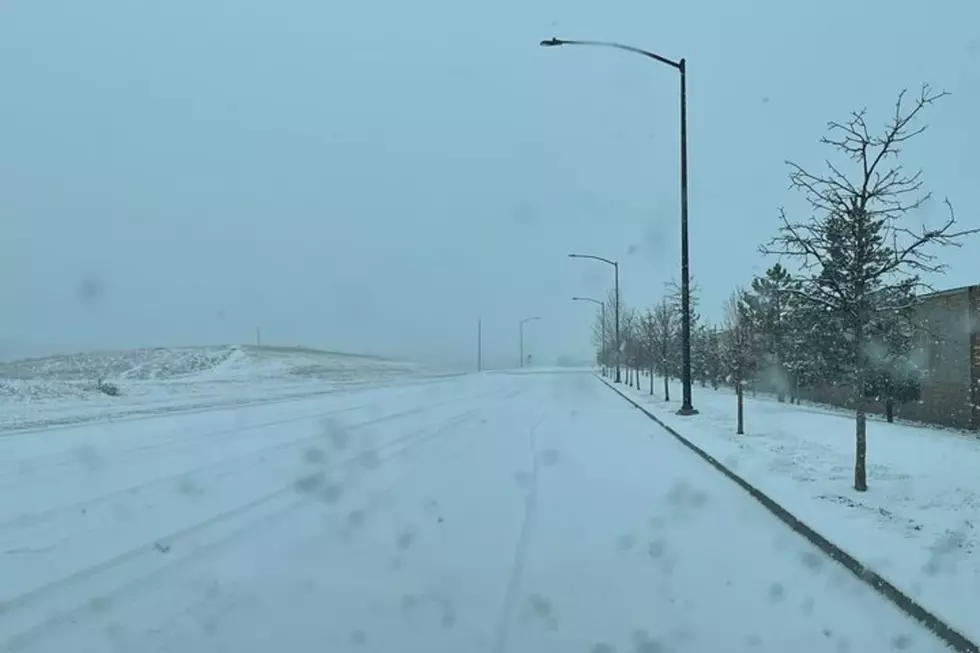
More Snow Possible In SE Wyoming Over Next Few Days
The Cheyenne Office of the National Weather Service is warning about the possibility of more snow over Southeast Wyoming and the Nebraska Panhandle over the next few days.
The agency posted this statement on its website:
"Rain/snow showers will move into parts of southeast WY late this afternoon and evening. Some of this snow shower activity may be heavy at times and may cause some dangerous driving conditions. See the latest short-range model that depicts the timing of when this activity will move into area.''
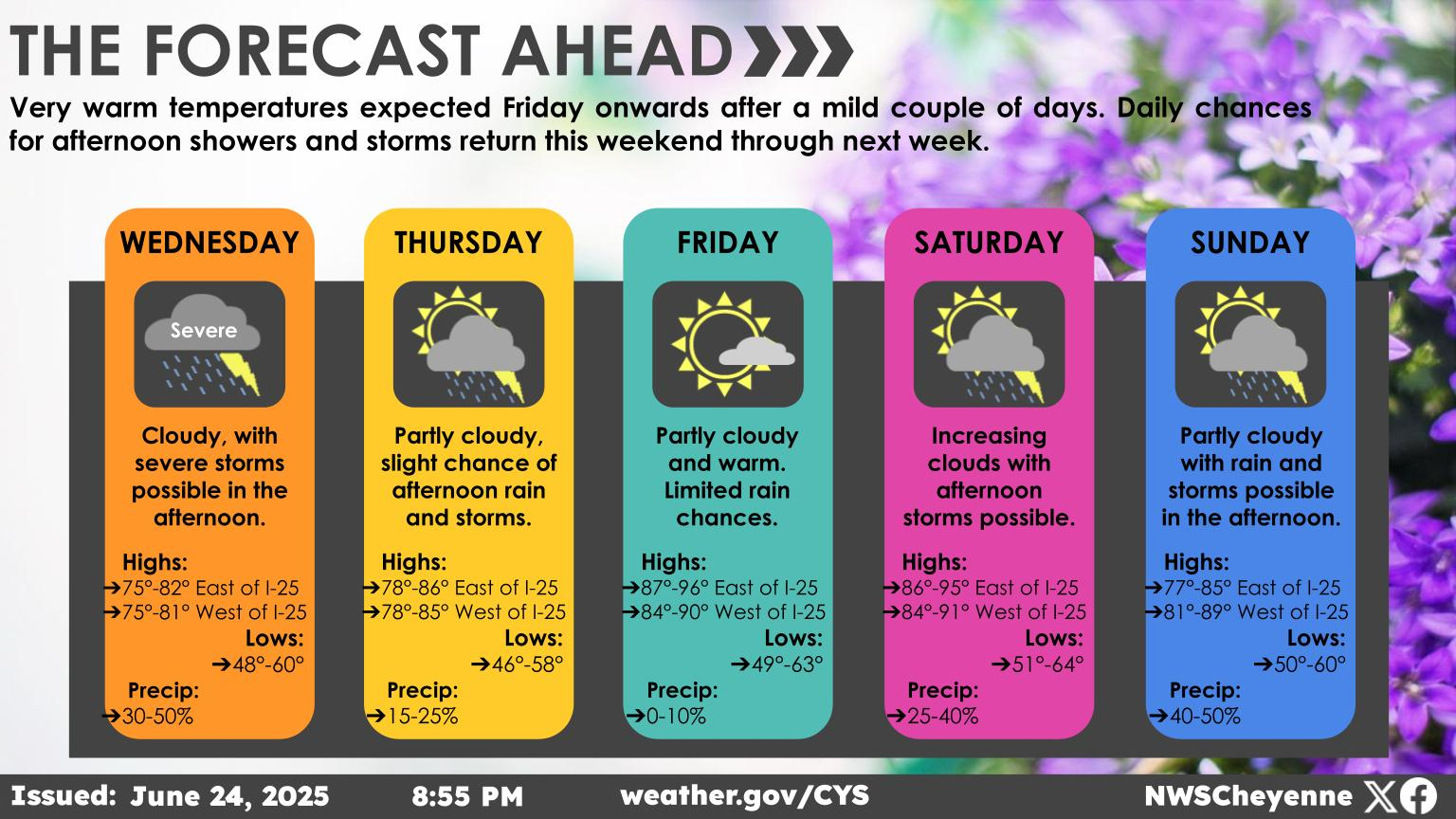 An unsettled start to the next work week, as we see some areas getting snow on multiple days. Starting off Sunday, best chances for snow will be along and west of the Laramie Range and in our western mountains. Not a lot of snow, though the mountains likely to pick up another 4-6 inches. Lower elevations from Cheyenne to Rawlins may see a half inch of snow Sunday, leading to slick roads and minor travel hazards. Snow continues Monday for the I-80 Corridor from Sidney to Laramie as snow comes to an end during the afternoon. Tuesday looks to be our best chance for fairly widespread snow. Most locations likely seeing 1-2 inches, with higher amounts in the mountains. Dry for mid week, before our next low pressure system moves in Thursday and Friday. Stay tuned!
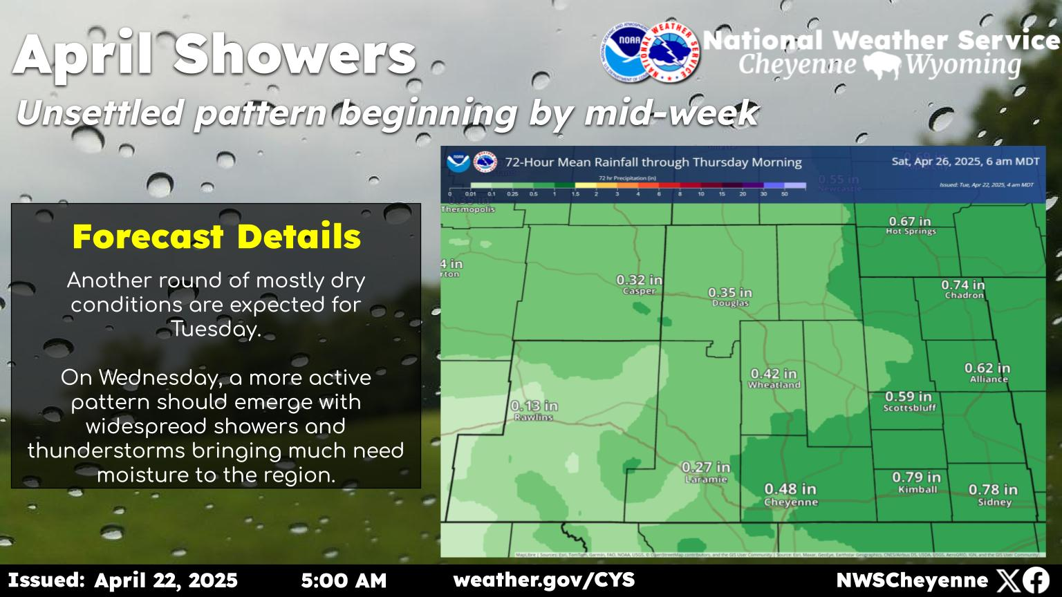
The Worst Storms Of The Decade In Southeast Wyoming
More From KGAB