Heavy Rainfall, Severe Storms Possible In SE Wyoming This Week
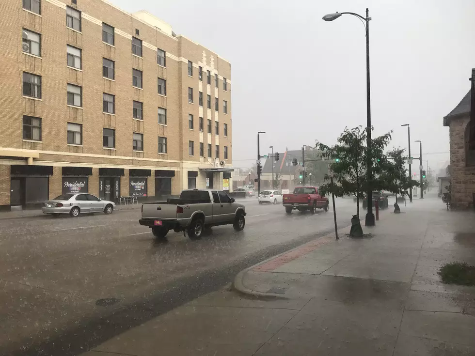
The Cheyenne Office of the National Weather Service says a wet week is ahead, with heavy rainfall possible later this week.
That's according to a post the agency put up on its website this morning:
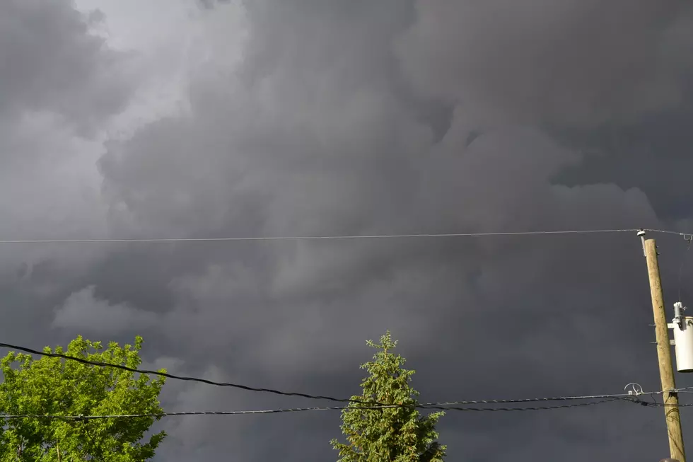
Here's the forecast for the rest of the work week for southeast Wyoming and Nebraska Panhandle. Nice weather today as high pressure is in control of the weather. Going to start to see an increase in showers and thunderstorms west of the Laramie Range Tuesday, as this high shifts east. Going to see an increase in coverage of afternoon showers and storms each day from Wednesday through Saturday as moisture shifts east. Thursday could be quite interesting as we could see slow moving afternoon/evening showers and storms that could produce heavy rainfall across many areas. Need to be on the lookout for the end of the week, as storms have a possibility of going severe Friday and Saturday. Good news? Looks like everyone will get much needed rainfall. Stay tuned!

Here is the forecast for Cheyenne for the next week:
More From KGAB
