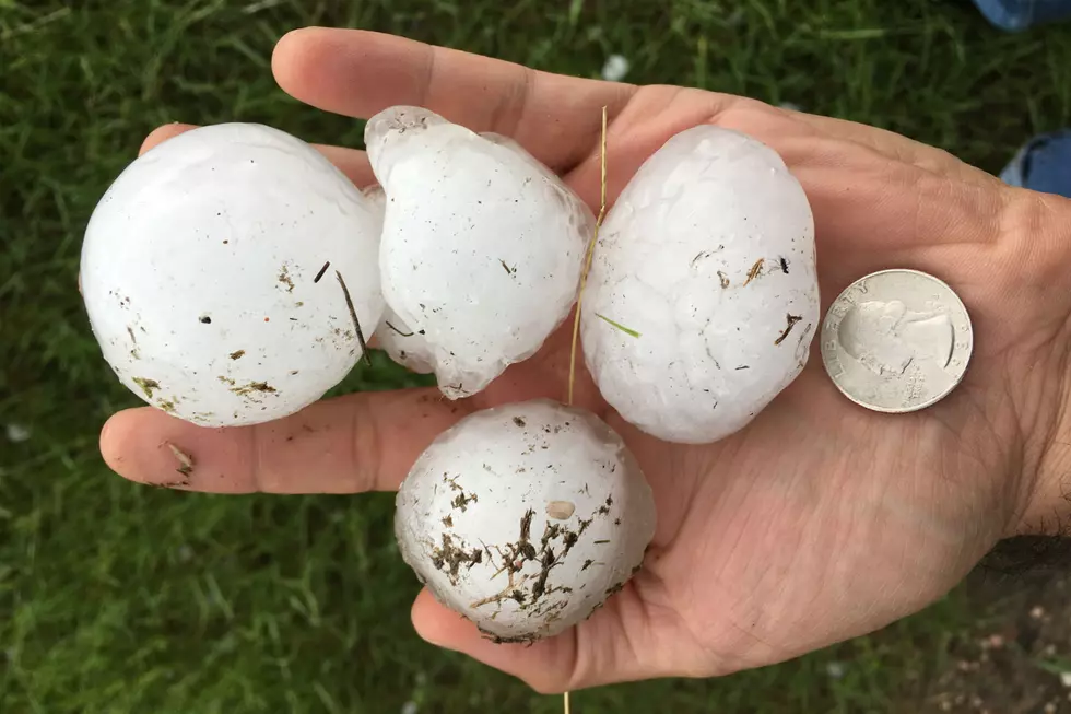
Golf Ball-Size Hail, Damaging Winds Possible East of I-25 Tuesday
UPDATE:
Parts of the forecast area have been upgraded to a "slight risk” in addition to the “marginal risk” for severe weather that is in place across much of Wyoming and Nebraska for Tuesday.
ORIGINAL STORY:
Areas east of Interstate 25 in southeast Wyoming and the western Nebraska Panhandle could see golf ball-size hail and damaging winds late this afternoon into the late evening hours, according to the National Weather Service.
The agency issued the following statement late Monday night:
A marginal risk of severe weather is in place across much of Wyoming and Nebraska for Tuesday. Strong thunderstorms will be possible late afternoon through late evening. The main threats will be large hail up to the size of golf balls and damaging wind gusts. A tornado cannot be ruled out but the chance is low. Be weather aware and have a safety plan in place if severe weather develops.
Pine Bluff, WY Hail Storm - Wed July 27, 2016
More From KGAB


