Cold, Blustery Weather In SE Wyoming Forecast Next Couple Of Days
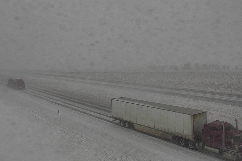
The Cheyenne Office of the National Weather Service says residents of southeast Wyoming and the Nebraska Panhandle can expect cold, blustery weather over the next couple of days,
That includes rain and snow showers across the region.
The agency posted the following on its website:

Winter isn’t letting go just yet! A cool and windy next few days are in store. Below average temperatures can be expected as well as some snow and rain showers!
Here is the forecast for Cheyenne:
Today
Showers likely, mainly after 3pm. Partly sunny, with a high near 45. Breezy, with a west wind 20 to 25 mph, with gusts as high as 40 mph. Chance of precipitation is 60%. New precipitation amounts of less than a tenth of an inch possible.
Tonight
A 20 percent chance of snow showers before midnight. Partly cloudy, with a low around 25. Blustery, with a northwest wind 20 to 25 mph, with gusts as high as 35 mph.
Thursday
A 20 percent chance of showers after noon. Increasing clouds, with a high near 42. Windy, with a west northwest wind 25 to 30 mph, with gusts as high as 40 mph.
Thursday Night
A 20 percent chance of snow showers before midnight. Partly cloudy, with a low around 23. Blustery, with a west northwest wind 15 to 25 mph.
Friday
A 20 percent chance of showers after noon. Partly sunny, with a high near 43. Windy, with a northwest wind 20 to 25 mph increasing to 25 to 30 mph in the afternoon. Winds could gust as high as 40 mph.
Friday Night
A 40 percent chance of snow showers. Mostly cloudy, with a low around 22. Blustery.
Saturday
A 40 percent chance of snow showers. Mostly cloudy, with a high near 43.
Saturday Night
A slight chance of snow showers before midnight. Mostly cloudy, with a low around 25.
Sunday
Partly sunny, with a high near 53.
Sunday Night
Mostly cloudy, with a low around 32.
Monday
A chance of showers and thunderstorms. Partly sunny, with a high near 59. Breezy.
Monday Night
A chance of rain and snow showers. Mostly cloudy, with a low around 34. Breezy.
Tuesday
A chance of rain and snow showers. Partly sunny, with a high near 50. Breezy.
Here is the forecast for Laramie:
Today
A chance of rain and snow showers, mainly after 3pm. Partly sunny, with a high near 36. Windy, with a west wind 25 to 35 mph, with gusts as high as 50 mph. Chance of precipitation is 40%.
Tonight
Partly cloudy, with a low around 17. Windy, with a west northwest wind 25 to 30 mph decreasing to 15 to 20 mph after midnight. Winds could gust as high as 45 mph.
Thursday
A 30 percent chance of snow showers after noon. Partly sunny, with a high near 34. Wind chill values between zero and 10. Windy, with a west northwest wind 25 to 30 mph, with gusts as high as 40 mph.
Thursday Night
A 30 percent chance of snow showers, mainly before midnight. Mostly cloudy, with a low around 20. Blustery, with a west northwest wind 15 to 25 mph, with gusts as high as 35 mph.
Friday
A chance of snow showers before noon, then a chance of rain showers. Partly sunny, with a high near 37. Windy, with a west northwest wind 20 to 30 mph, with gusts as high as 40 mph. Chance of precipitation is 40%.
Friday Night
A 40 percent chance of snow showers. Mostly cloudy, with a low around 23. Blustery.
Saturday
A 40 percent chance of snow showers. Mostly cloudy, with a high near 39. Breezy.
Saturday Night
Mostly cloudy, with a low around 22.
Sunday
A slight chance of rain and snow showers between noon and 1pm, then a slight chance of rain showers after 1pm. Partly sunny, with a high near 48.
Sunday Night
Mostly cloudy, with a low around 30.
Monday
A chance of showers. Partly sunny, with a high near 53. Breezy.
Monday Night
A chance of rain and snow showers. Mostly cloudy, with a low around 32. Breezy.
Tuesday
A chance of snow showers. Partly sunny, with a high near 45. Breezy.
A Beautiful Wilson, Wyoming Property Worth $27 Million
More From KGAB