Cheyenne NWS: Watch For Strong Winds, Large Hail, Possible Tornado
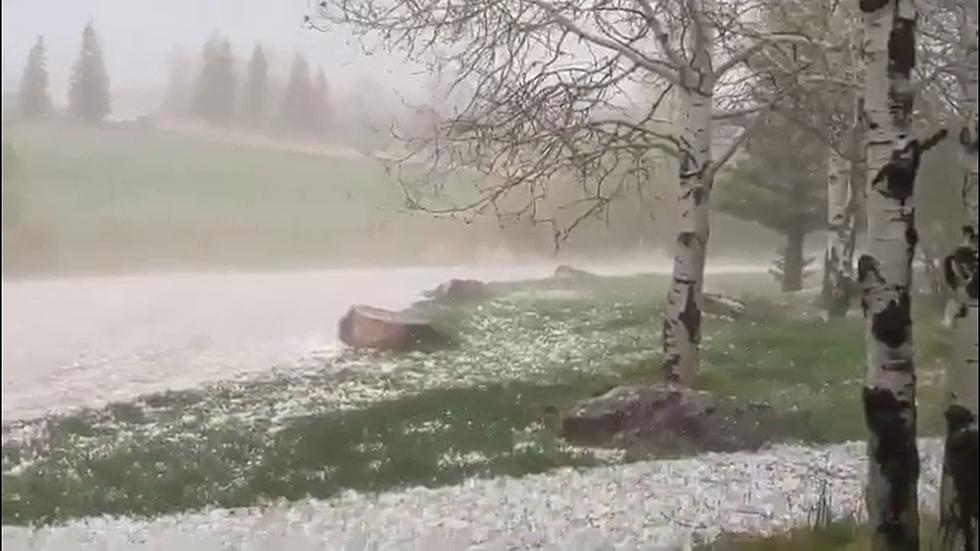
The Cheyenne Office of the National Weather Service is warning about possible heavy rain, large hail, and strong winds through the next couple of days.
A tornado is also possible.

The agency issued a weather statement on Wednesday evening that included the following:
- Strong to severe storms capable of 60-70 mph winds, 1-2" hail, and frequent lightning will be possible Thursday Afternoon and Evening for southeast Wyoming and Nebraska Panhandle.
- A High Wind Watch is effect for midnight Friday morning through mid-morning Friday for Arlington, I-80 Summit, Laramie Foothills. and portions of I-25 near Bordeaux.
- Winds could gust 55 to 70 mph at times.
The following was posted on the agency's website
There is a slight risk (yellow shading) of severe thunderstorms this afternoon and evening to the right of a line from Lance Creek to Bosler, with a marginal risk (dark green shading) for the rest of southeast Wyoming. Scattered thunderstorms, some strong to severe, are expected to develop this afternoon and evening. Hazards from severe storms will include damaging winds in excess of 60 mph, quarter size hail or larger, and a possible tornado. Greatest risk from severe storms will be from 2 PM to 9 PM. Please be weather aware and ready to act. Have multiple ways to receive warnings.
POKES: The Seven Best Games In The History Of The Wyoming-CSU Border War Rivalry (Naturally, they were all Wyoming wins)
More From KGAB


