Cheyenne NWS: Travel Planner For Incoming Winter Storm
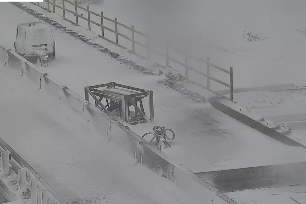
The Cheyenne Office of the National Weather Service is offering a travel planner for those planning to hit the highways in southeast Wyoming during a winter storm that is expected to blast the area Tuesday and Wednesday.
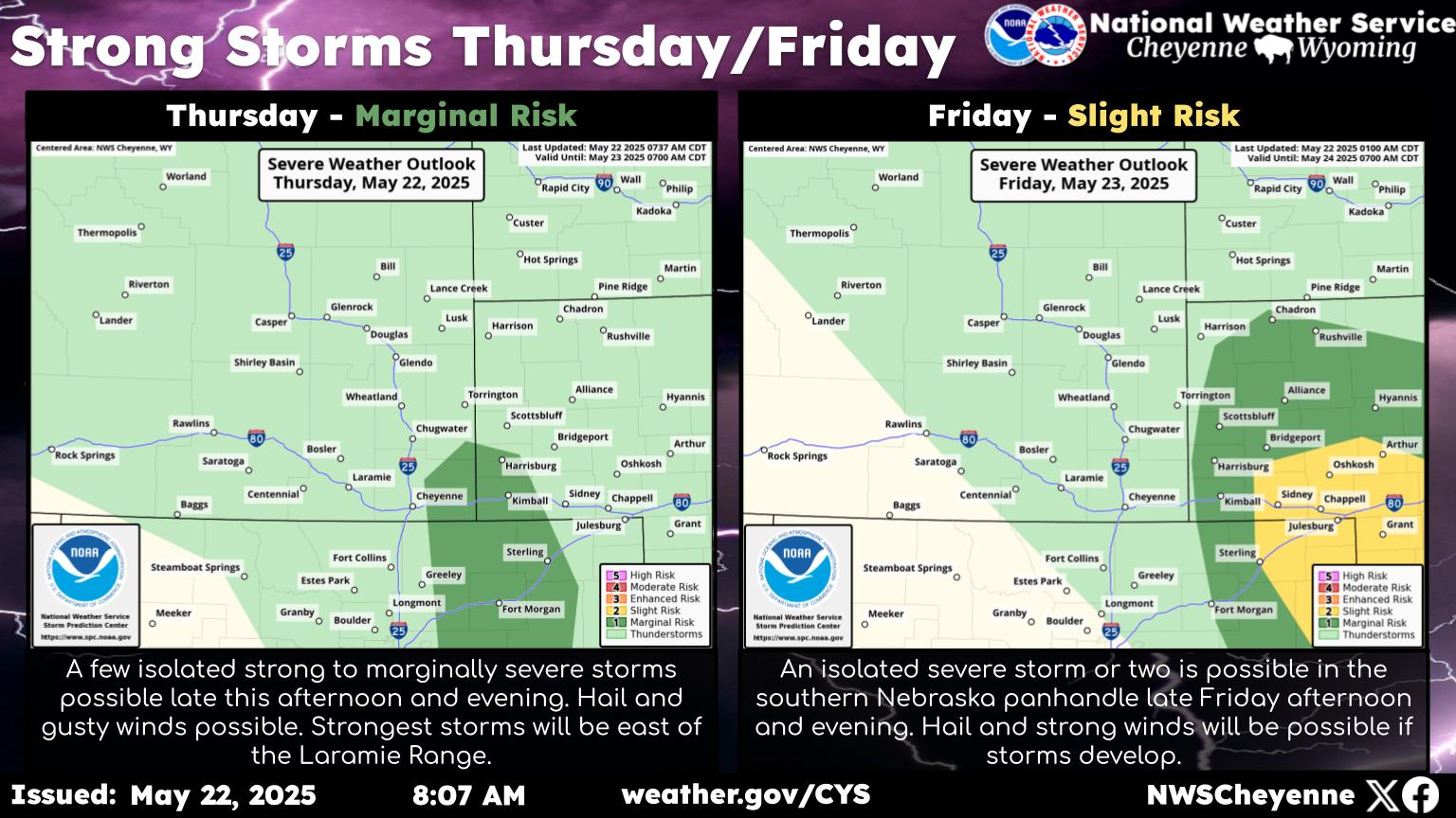
The agency posted the following statement and graphic on itS website on Monday morning:
''Here is a graphic showing the timing of travel impacts across southeast Wyoming. Winter Storm Warnings and Winter Weather Advisories have been issued for portions of Carbon and Albany counties; this includes portions of Interstate 80 between Laramie and Rawlins so be prepared for winter driving conditions if you must travel. The worst conditions (Moderate to High Impact) are expected to be this evening through tonight west of the Interstate 25 corridor where moderate to heavy snow will combine with gusty winds to produce very low visibilities and drifting snow on area roadways. Further east, areas along the I-25 corridor from Cheyenne to Douglas can expect rainfall initially before transitioning to snow Tuesday night as the colder air arrives. Stay tuned for the latest updates and potential snow accumulations at weather.gov/cys.''
An Airplane Factory In Douglas Wyoming? Who Knew?
Gallery Credit: Glenn Woods
Wyoming's Best Pilots Astound At The Glendo Fly-In 2021
Gallery Credit: Glenn Woods
More From KGAB


