Cheyenne NWS Says Arctic Cold Possible In SE Wyoming Next Week
Southeast Wyoming is facing an "active weather pattern" over the next week, according to the Cheyenne Office of the National Weather Service.
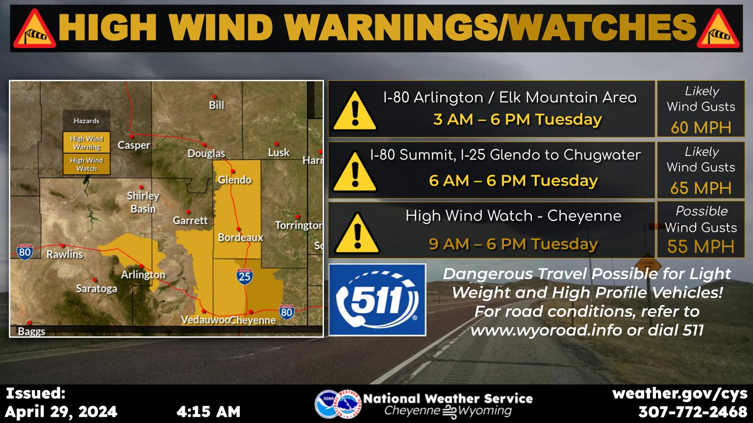
That is expected to include warming and cooling weather, strong winds, blowing snow and possibly artic weather towards mid-week next week.
Cheyenne and Laramie both could see lows in the sub-zero range.
That's according to a post on the agency's website:
Very active weather is expected for the week ahead. We will break out of the most recent cold snap today with temperatures returning to slightly above normal. Expect a cool down Sunday, followed by a rebound for Monday. Big changes are expected by Wednesday with a return of arctic cold possible, though significant uncertainty remains. Strong winds will be the main concern through Tuesday. The wind prone areas can expect high winds today, then again on Saturday night/early Sunday, and again on Sunday night through Monday and possibly into Tuesday. Very strong winds could become widespread on Sunday night and Monday. Snowfall will return to the higher terrain on Sunday, and continue on and off through the week ahead. More widespread snow is possible late Tuesday through early Thursday, but uncertainty remains high regarding the details of this system. Keep checking back for more information in the coming days!

Here is the forecast for Cheyenne:
Best Playground in Cheyenne, According to Locals
More From KGAB


