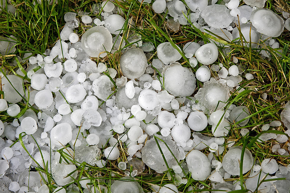
Cheyenne, Laramie Could See 60+ Winds, Large Hail, Flooding Thursday
The Cheyenne Office of the National Weather Service says severe thunderstorms could hit southeast Wyoming on Thursday.

The weather could include winds of over 60 miles per hour, large hail, and flash flooding. The agency posted this statement on its website on Wednesday, August 18:
For today, there is a marginal risk of severe thunderstorms (dark green shading) west of a Douglas to Centennial line. Scattered thunderstorms are expected this afternoon and evening, with a few storms possibly producing large hail and damaging winds. On Thursday, there is a slight risk of severe thunderstorms (yellow shading) east of a Lance Creek to Bosler line. Expect scattered thunderstorms in the afternoon and evening, some likely severe, producing wind gusts in excess of 60 mph, along with possible large hail.
There is also a risk of heavy rainfall and flash flooding on Thursday:
Showers and thunderstorms will become more widespread Wednesday and Thursday as moisture continues to push across Wyoming and the Nebraska Panhandle. There is a Marginal Risk for excessive rainfall/flash flooding for portions of southeast Wyoming Wednesday with further spreading across more of southeastern Wyoming and the Nebraska Panhandle for Thursday. In this area it only takes about an inch or two of rain in a short period of time to quickly create flash flooding concerns, and closer to a half an inch to one inch in burn scar areas.
CHECK IT OUT: 100 sports records and the stories behind them
More From KGAB


