
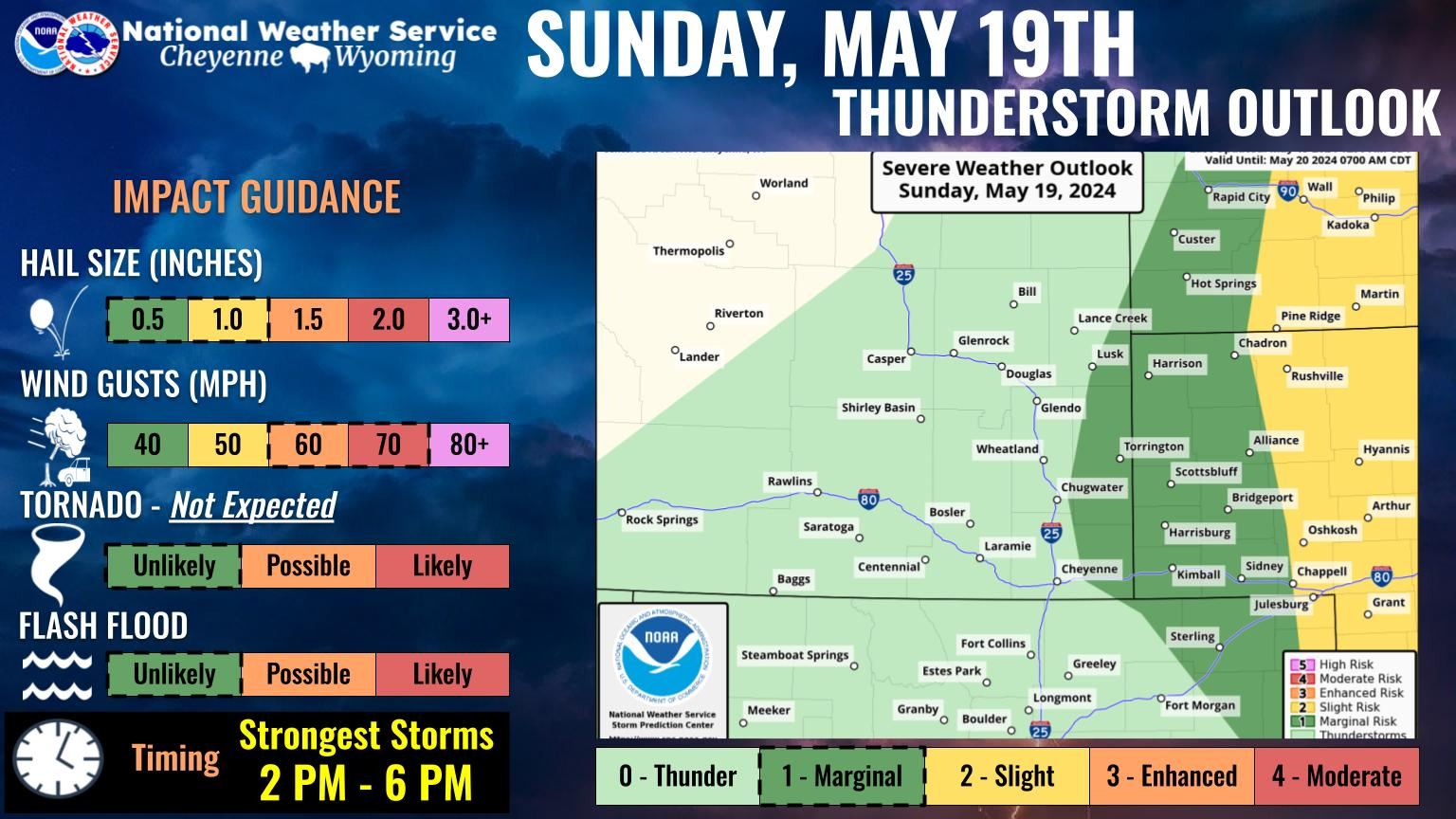
Another Cold, Breezy Day Wednesday Ahead Of Warming Trend In SE Wyoming
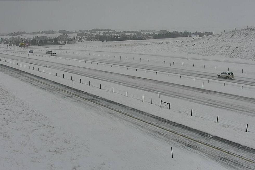
Southeast Wyoming residents can expect another cold, windy day on Wednesday, although most of the snow associated with a winter storm that hit the area of the lost couple of days has moved further east.
That's according to the Cheyenne Office of the National Weather Service. The agency posted this statement on it's website:
While the heavy snow has come to an end across the region, we won’t break free of the chill just yet. Another cold and breezy day is expected today with highs in the mid 20s to mid 30s across the area. Breezy west to northwest winds will continue, occasionally gusting to 35 to 45 MPH, which may result in continued blowing snow in areas with substantial fresh snow. A few lingering flurries are likely, with another round of scattered snow showers developing this afternoon along and south of I-80. Some light new accumulations are possible. If you are tired of the cold temperatures though, spring weather is just around the corner! A major warm up is expected to begin Thursday and continue through next week. We could be seeing highs in the 60s or even 70s by the early part of next week.
20 Classic Cars From 20 Classic Movies
Gallery Credit: Dave Roberts
More From KGAB


