70 MPH Winds, Two Inch Hail, Heavy Rainfall Possible In SE Wyoming
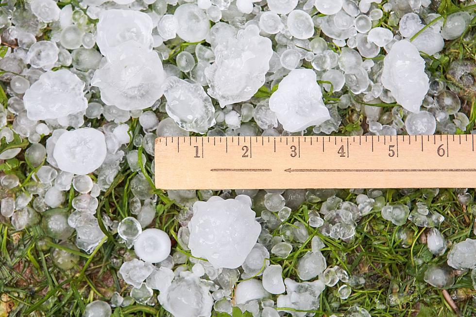
The Cheyenne Office of the National Weather Service says southeast Wyoming residents could see strong winds, large hail and heavy rainfall today [June 2].
The agency posted the following on its website:
There is a marginal to slight risk for severe thunderstorms across portions of southeast Wyoming and western Nebraska this afternoon and evening. The main concerns will be large hail and damaging winds, however an isolated tornado in the southern Nebraska panhandle cannot be ruled out.

Widespread strong to severe thunderstorms today will lead to a marginal risk for excessive rainfall. Storms could contain moderate to heavy rain. Numerous storms and/or training storms could result in minor flooding or flash flooding in some areas.

Widespread thunderstorms are expected this afternoon and evening across southeast Wyoming and western Nebraska. Rain will continue into the overnight hours. Severe storms are possible

Cheyenne, Laramie Forecasts
Cheyenne Forecast
Check Out the Damages from Cheyenne's Wild Spring Wind Storm
Gallery Credit: Doug Randall
More From KGAB


