
Winter Weather Hits Southeast Wyoming This Weekend
The Cheyenne Office of the National Weather Service says two different cold fronts are expected to hit southeast Wyoming this weekend.
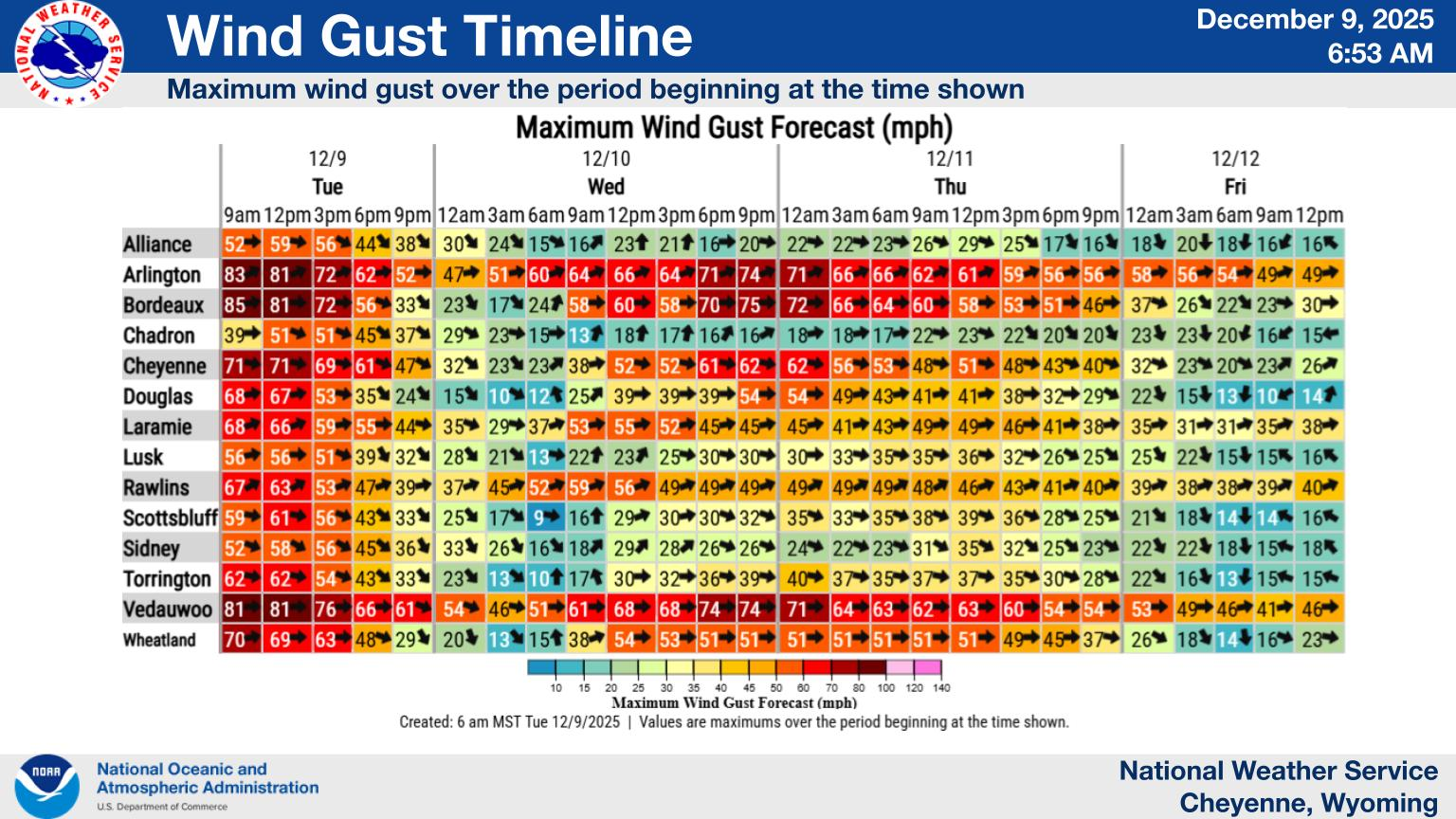
The fist one will hit this evening [Dec. 26]. While it may drop some snow on Cheyenne and Laramie, it may unload up to 20 inches of snow in the Sierra Madre and Snowy Range Mountains:
The Winter Storm Watch has been upgraded to a Winter Storm Warning for the Sierra Madre Range. 12 to 18 inches of snow is expected, with potentially 20+ inches in the highest peaks. Winter Weather Advisories have been issued adjacent to the Warning with snow totals in the Snowy Range expected to be between 6 and 10 inches. Other areas in the Advisory may see 2 to 5 inches of snow. Blowing snow may also reduce visibility along I-80 near Arlington and Elk Mountain. Outdoor recreation in the mountains could become dangerous to those caught unprepared for winter conditions.
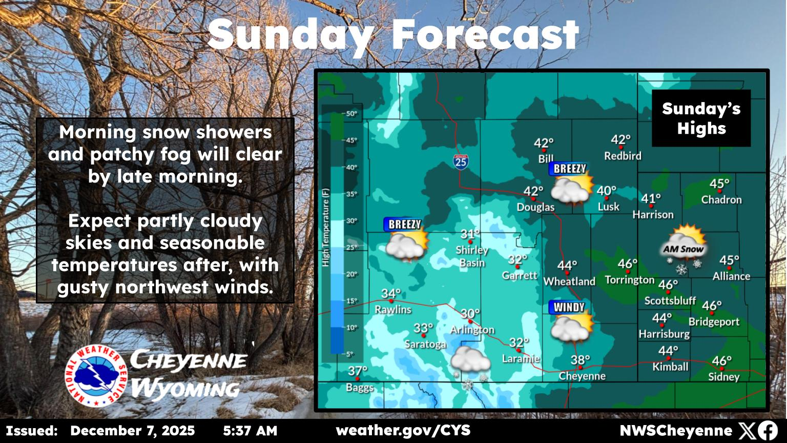
A second cold from will hit Sunday and Monday. Forecaste4rs aren't sure yet exactly what the impacts of that front will be.
After nearly a week of record December warmth, wintry weather is expected to return Friday night with the first of two cold fronts. Snowfall will remain mainly confined to Carbon and Albany counties Friday night, but a second, much stronger, cold front arriving Saturday night will spread snow chances eastward into the High Plains. A Winter Storm Watch has been issued for the Sierra Madre Mountains from midnight Friday night through 11AM Sunday where snow totals may exceed 10". Outside of the mountains, snow accumulation is expected to be more modest, but travel impacts are possible Friday night in Carbon/Albany counties and Saturday night into Sunday morning across a wider area.
Cheyenne, Laramie Forecasts
Cheyenne Forecast
Exploring The Lost Town Of Yoder Wyoming
Gallery Credit: Glenn Woods
More From KGAB


