OPDATE; The Cheyenne Office of the National Weather Service has now upgraded the threat of severe storms for southeast Wyoming on Friday, June 11;

Heads up, southeast Wyoming and western Nebraska... the severe threat has increased this afternoon and evening for portions of the area, mainly near the I-80 corridor from Laramie into the panhandle. Have multiple ways to receive forecast and warning info and seek sturdy shelter in the case of storms!

May be an image of map, floor plan and text

ORIGINAL POST: The Cheyenne Office of the National Weather Service says severe storms are possible on Friday in southeast Wyoming and the Nebraska Panhandle.

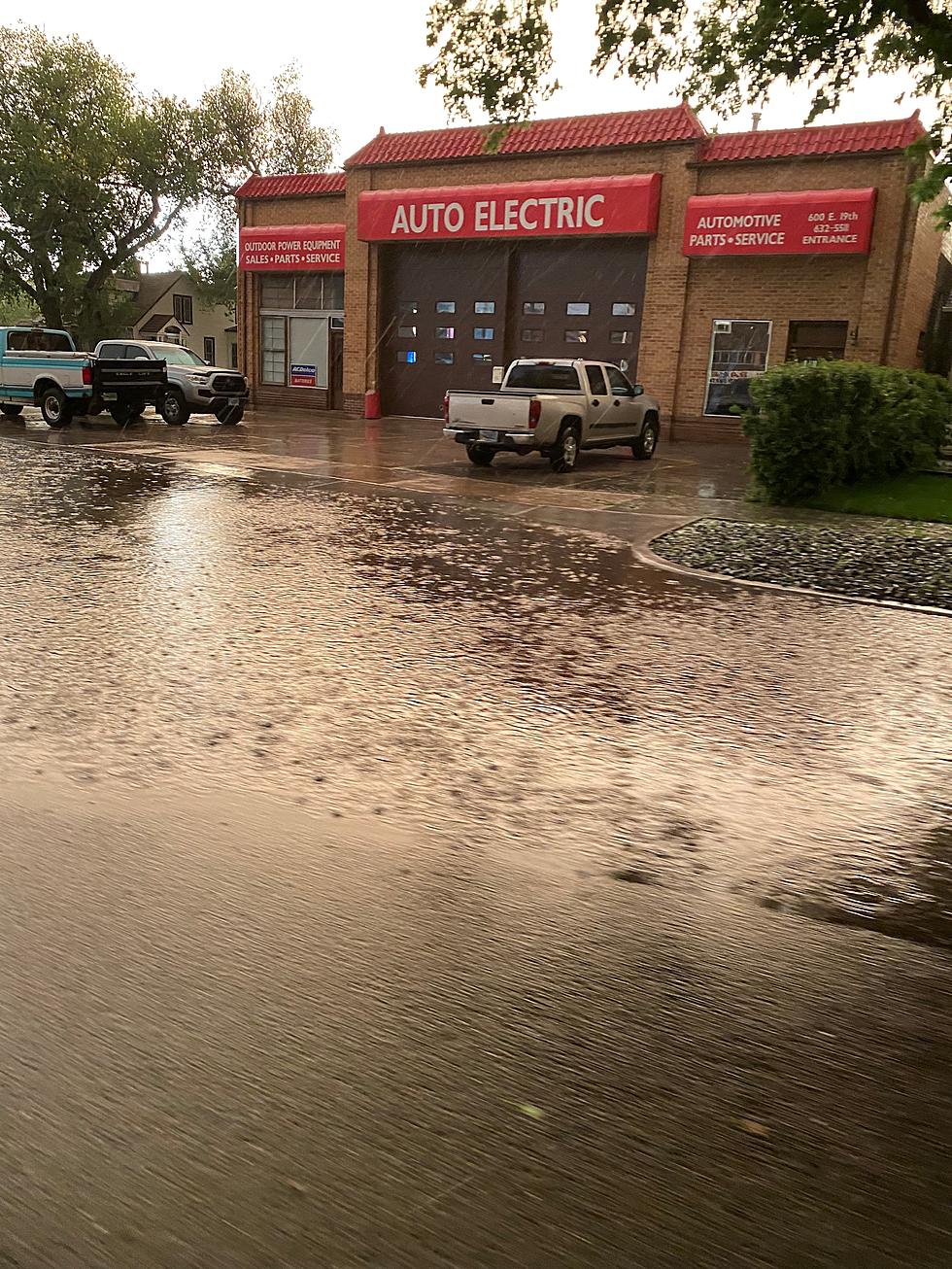
Some storms could feature strong winds, hail and heavy rain. The rainfall potentially could lead to localized flooding, according to the agency. Both Cheyenne and Laramie are in the area of the potential storms, according to a weather service map [see below].

The Cheyenne NWS posted the following on its' website ''There is a marginal risk for severe weather across portions of southeast Wyoming and western Nebraska on Friday. Storms could contain damaging winds and hail. Heavy rain is also possible which could lead to localized flooding. Best timing for the strongest storms will be between 3 PM and 8 PM.''


Cheyenne, Laramie Forecasts

Cheyenne Forecast

Today
Scattered showers and thunderstorms after noon. Mostly sunny, with a high near 78. Breezy, with a north northwest wind 10 to 20 mph becoming northeast in the afternoon. Winds could gust as high as 30 mph. Chance of precipitation is 50%.
Tonight
Showers likely and possibly a thunderstorm before 9pm, then a slight chance of showers and thunderstorms between 9pm and midnight, then a slight chance of showers after midnight. Patchy fog after 5am. Otherwise, mostly cloudy, with a low around 51. North northeast wind 5 to 15 mph becoming south southeast after midnight. Chance of precipitation is 60%. New precipitation amounts between a tenth and quarter of an inch, except higher amounts possible in thunderstorms.
Saturday
A 20 percent chance of showers and thunderstorms after noon. Patchy fog before 9am. Otherwise, mostly sunny, with a high near 78. South wind 5 to 10 mph.
Saturday Night
Mostly clear, with a low around 54. South southeast wind 5 to 10 mph becoming west after midnight.
Sunday
Sunny, with a high near 87. West wind 5 to 10 mph becoming east in the afternoon.
Sunday Night
Partly cloudy, with a low around 58.
Monday
A 30 percent chance of showers and thunderstorms after noon. Partly sunny and hot, with a high near 90.
Monday Night
Partly cloudy, with a low around 55.
Tuesday
A chance of showers and thunderstorms after noon. Mostly sunny, with a high near 82.
Tuesday Night
A chance of showers and thunderstorms. Mostly cloudy, with a low around 50.
Wednesday
Showers and thunderstorms likely. Mostly cloudy, with a high near 70.
Wednesday Night
A chance of showers and thunderstorms. Mostly cloudy, with a low around 49.
Thursday
A chance of showers and thunderstorms. Partly sunny, with a high near 75.
Laramie Forecast
Today
Scattered showers and thunderstorms after noon. Increasing clouds, with a high near 71. Southeast wind 10 to 15 mph becoming northeast in the afternoon. Winds could gust as high as 30 mph. Chance of precipitation is 50%.
Tonight
A chance of showers and thunderstorms before 9pm, then a slight chance of showers between 9pm and midnight. Patchy fog after 2am. Otherwise, mostly cloudy, with a low around 48. East northeast wind 10 to 15 mph becoming south southeast after midnight. Winds could gust as high as 25 mph. Chance of precipitation is 40%.
Saturday
Patchy fog before 9am. Otherwise, mostly sunny, with a high near 76. South southeast wind around 10 mph becoming north northwest in the afternoon.
Saturday Night
Mostly clear, with a low around 55. North wind 5 to 10 mph becoming south in the evening.
Sunday
Increasing clouds, with a high near 83. Southwest wind 5 to 10 mph becoming east in the morning.
Sunday Night
Partly cloudy, with a low around 58.
Monday
A 20 percent chance of showers and thunderstorms after noon. Mostly sunny, with a high near 84.
Monday Night
Partly cloudy, with a low around 55.
Tuesday
A chance of showers and thunderstorms after noon. Mostly sunny, with a high near 77.
Tuesday Night
A chance of showers and thunderstorms. Mostly cloudy, with a low around 51.
Wednesday
Showers and thunderstorms likely. Partly sunny, with a high near 70.
Wednesday Night
A chance of showers and thunderstorms. Partly cloudy, with a low around 49.
Thursday
A chance of showers and thunderstorms. Mostly sunny, with a high near 75.

Central Wyoming Rodeo-Thursday

Central Wyoming Rodeo-Thursday

Gallery Credit: Libby Ngo, Frank Gambino

More From KGAB